

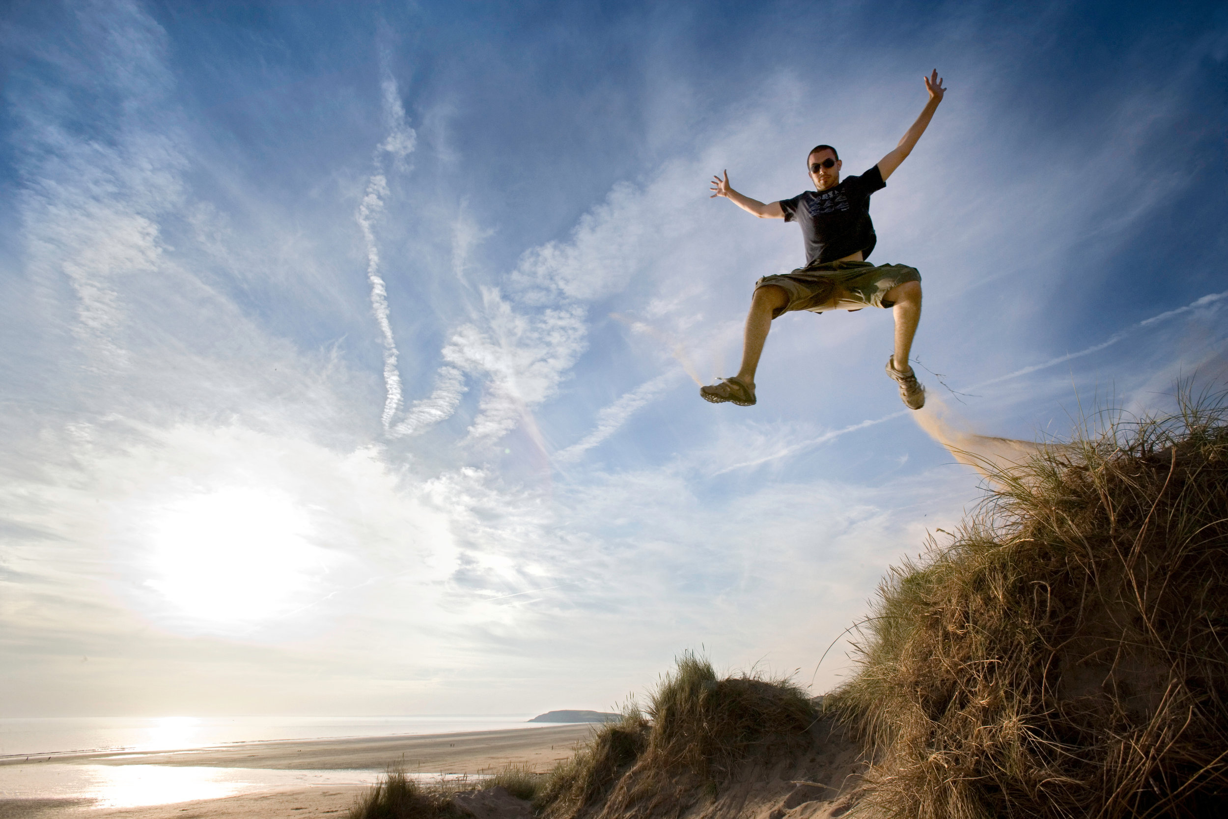
Rhossili Bay & Worms Head
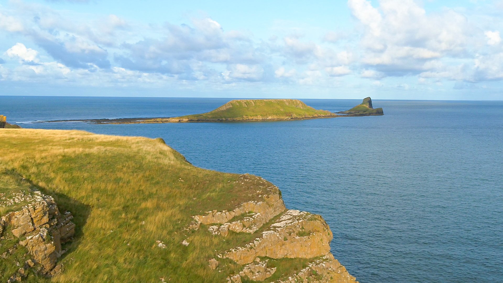
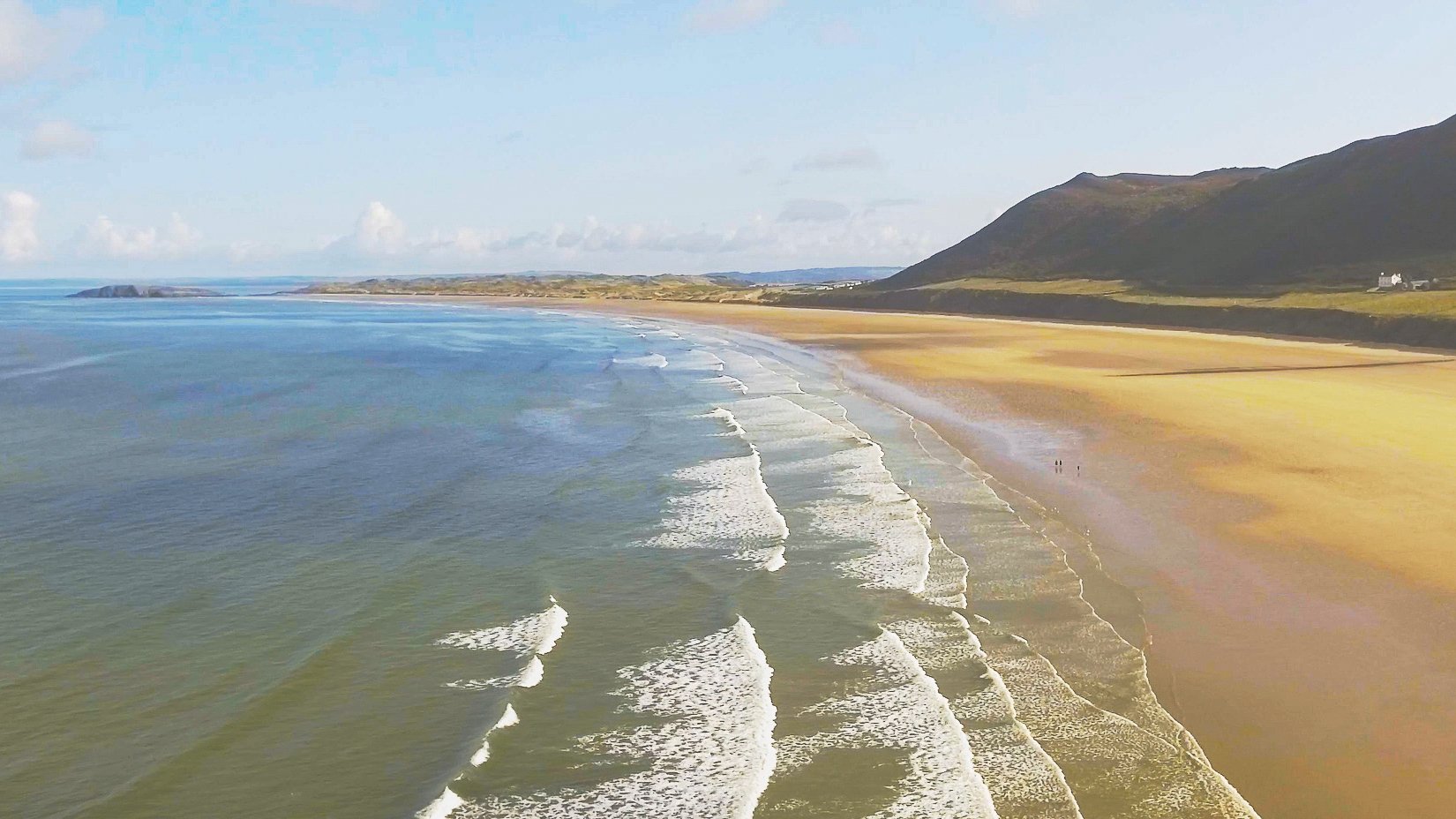
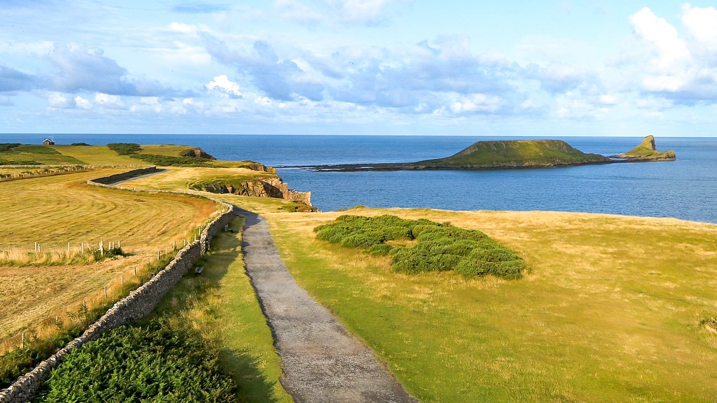
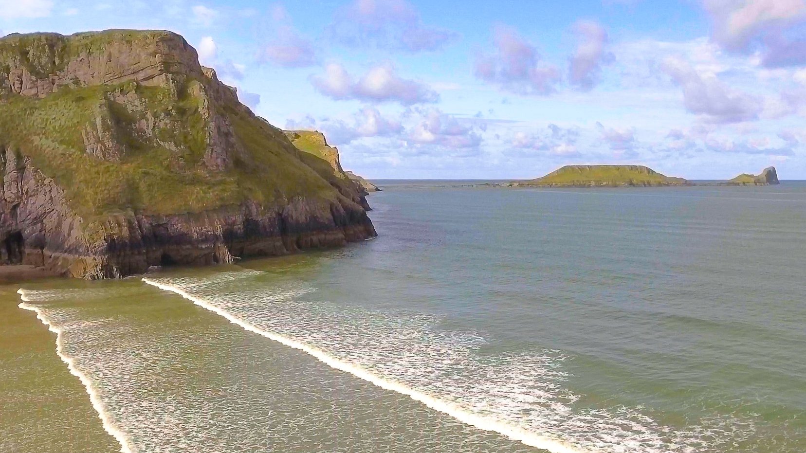
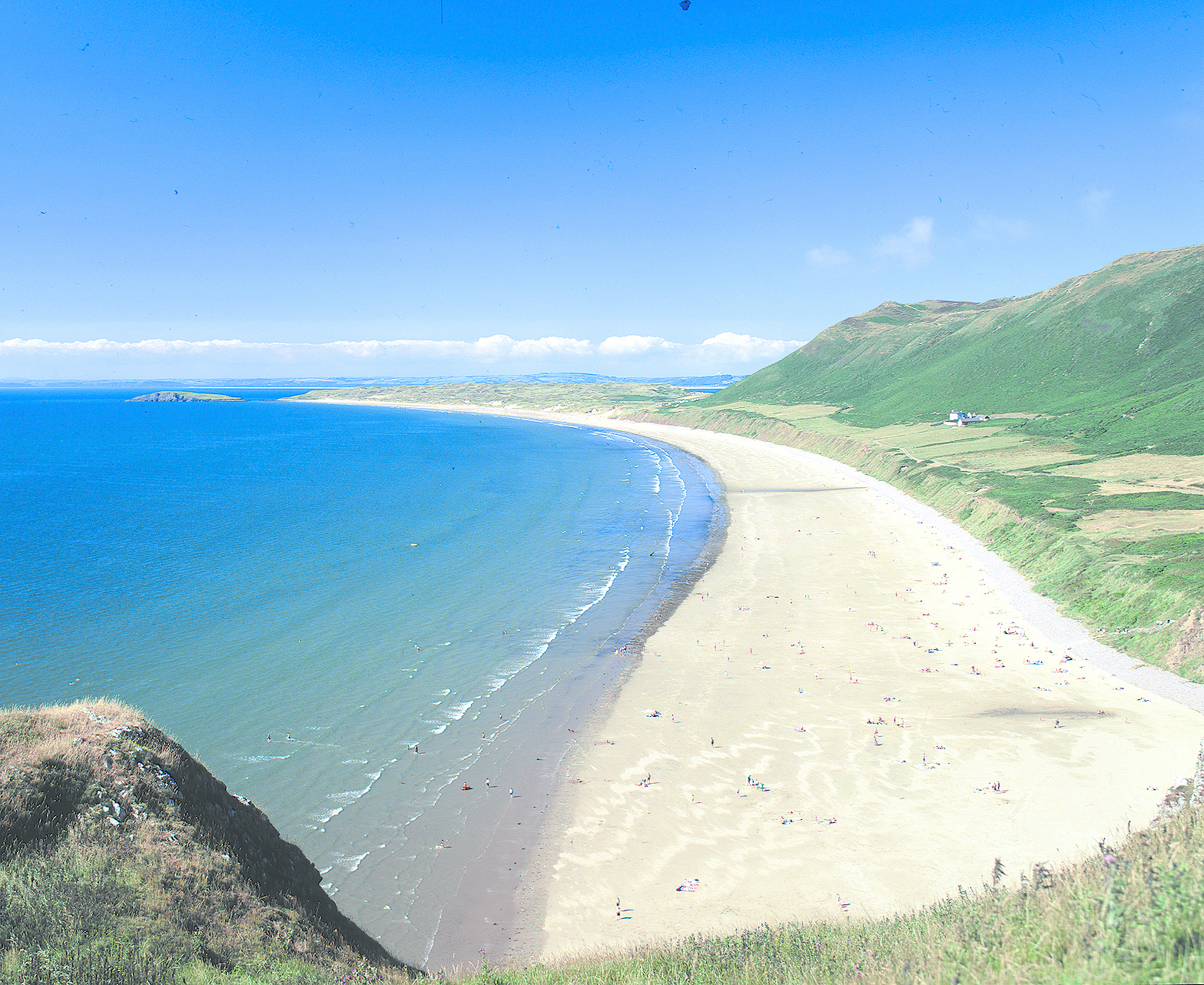
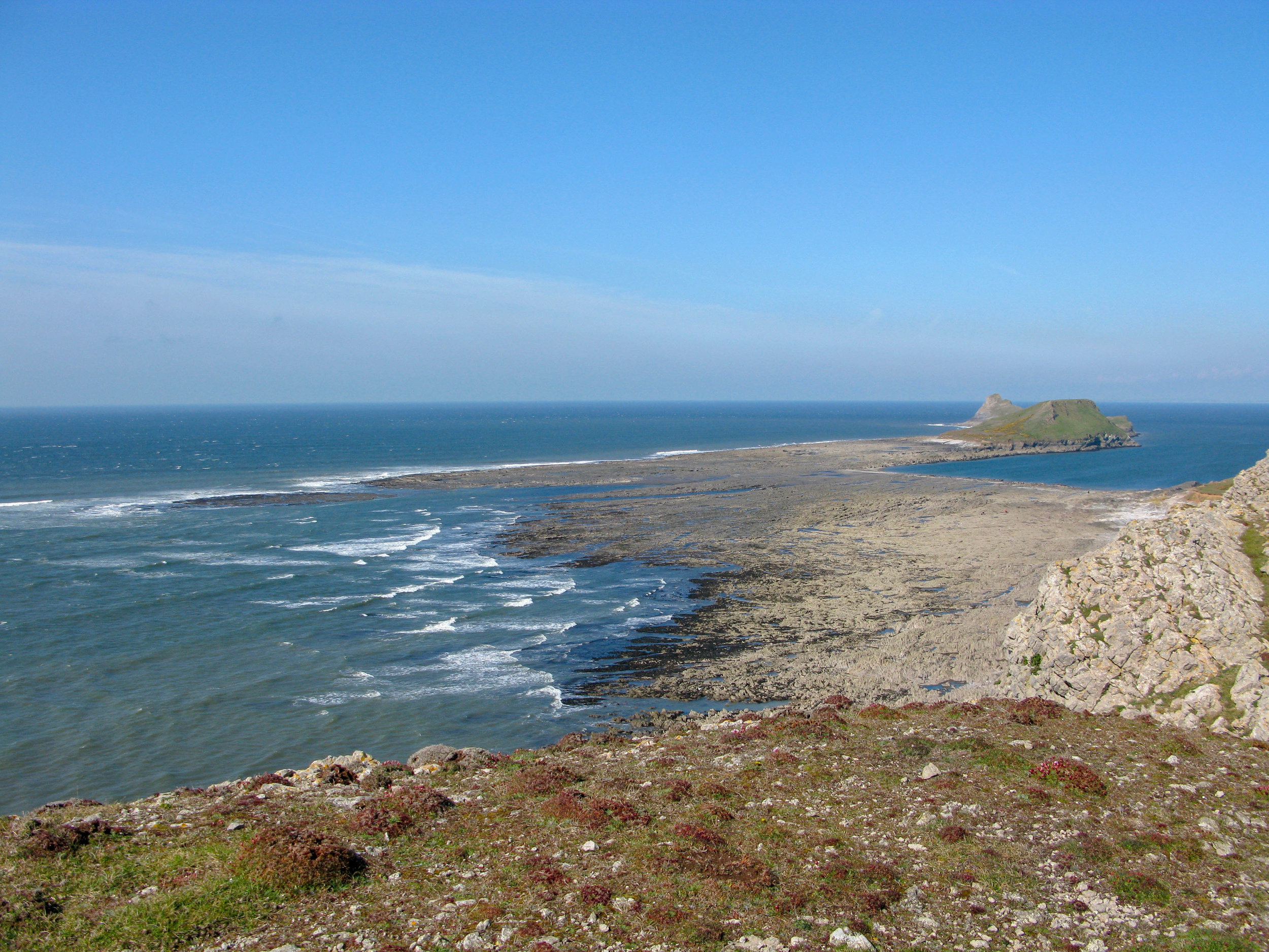
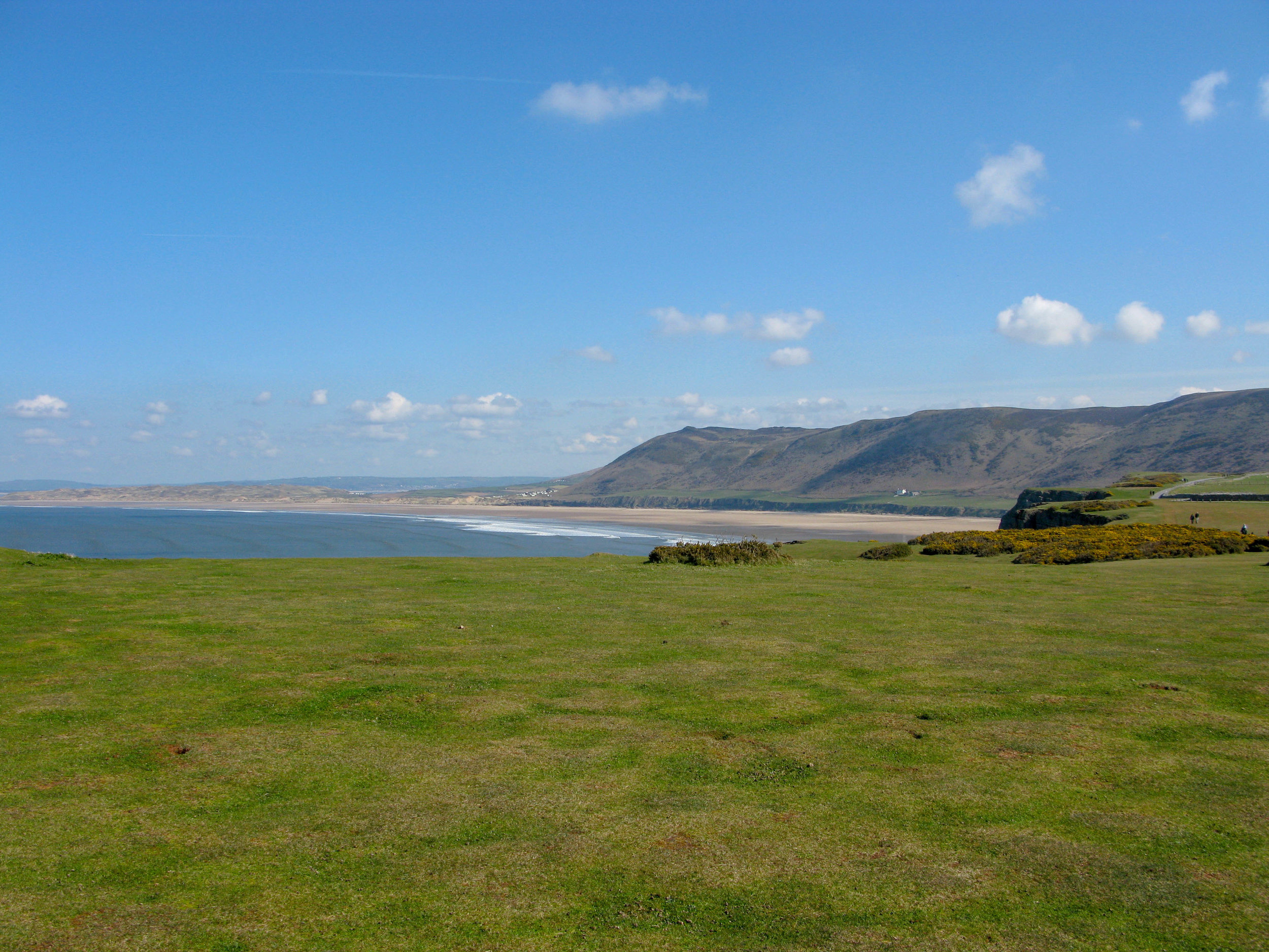
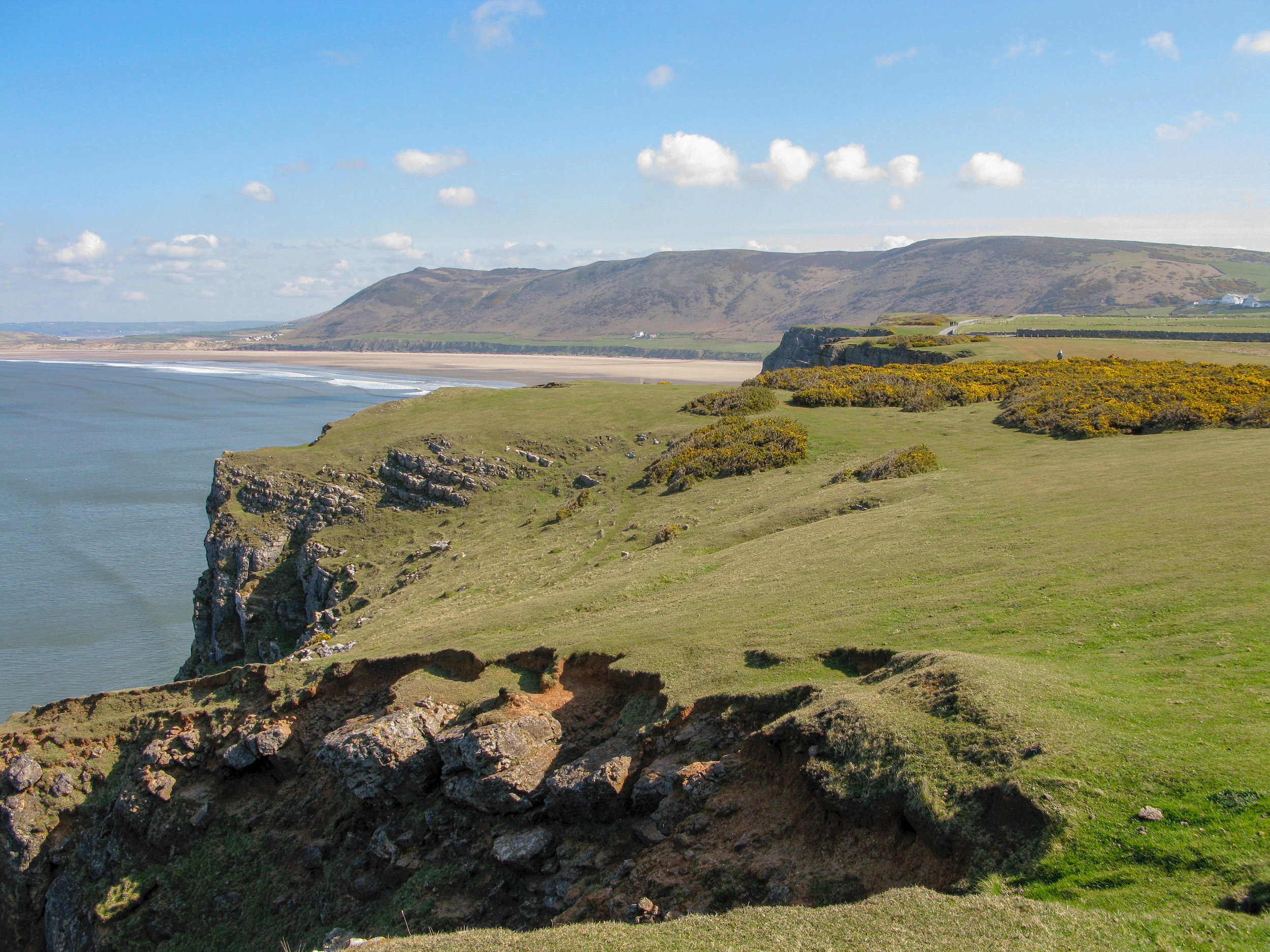
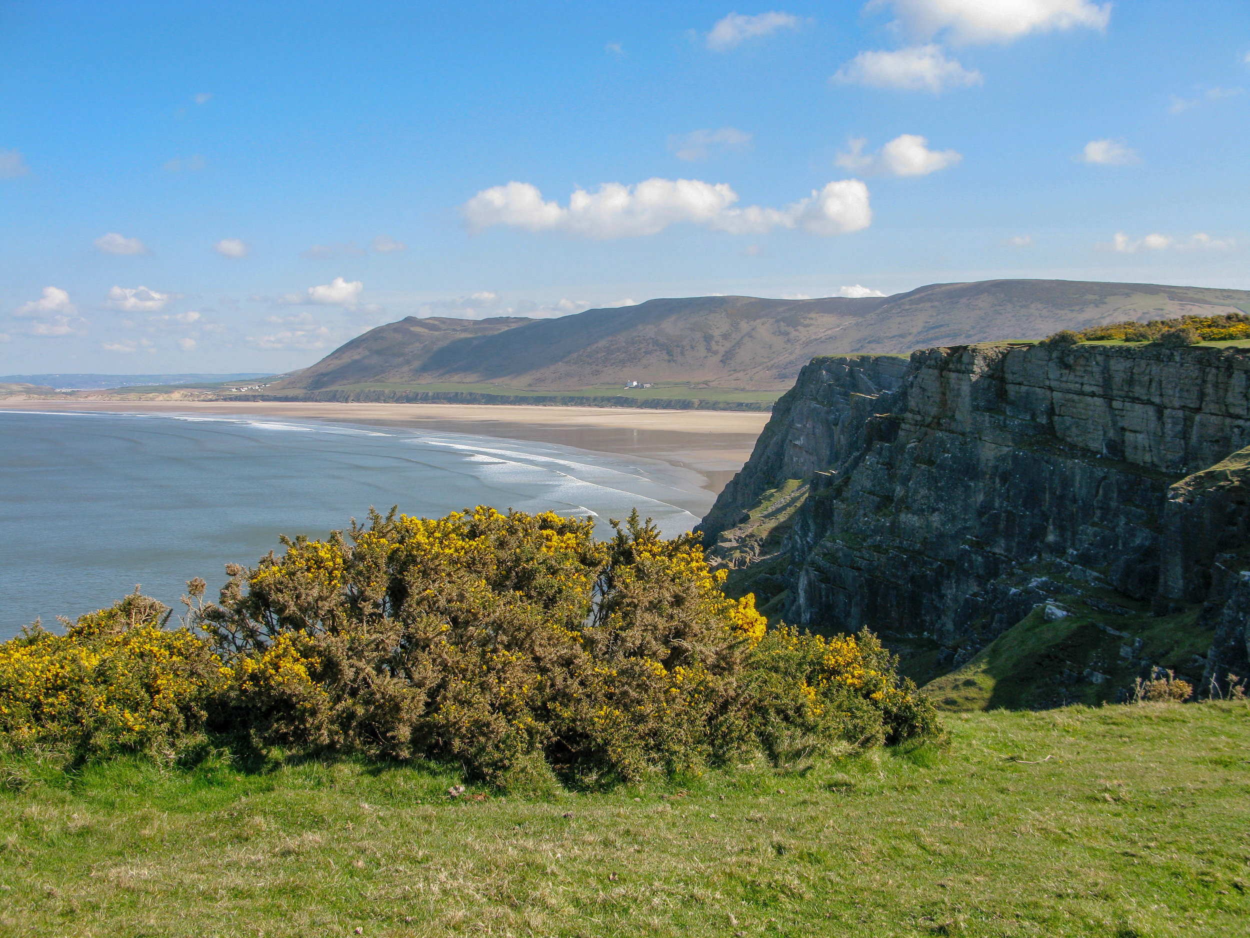
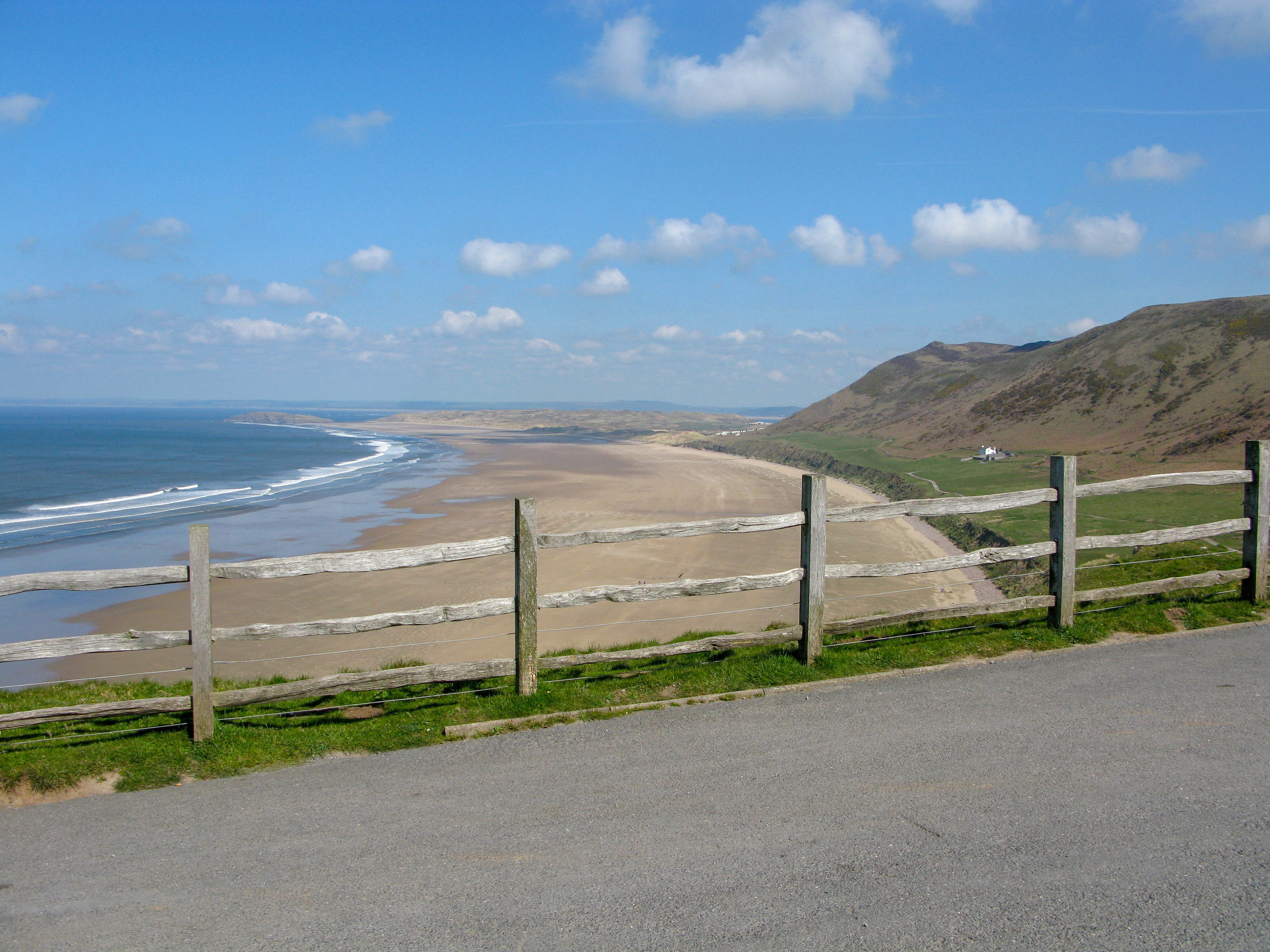
Rhossili Bay is the most westerly bay on the Gower peninsula and bears the full might of the Atlantic swells. It is the most consistent surfing beach on Gower, with the biggest waves at the north end at Llangennith. It is a dramatic environment with Rhossili Downs towering above the vast expanse of beach that stretches three miles. Heading west along the cliff path towards the end of the peninsula there is Worm's Head, a mile long serpent-like promontory jutting out into the ocean.
Rhossili History
The Gower coast has strong maritime ties and a number of legends surrounding seafaring, smuggling, and piracy. Raiders destroyed Llangennith Priory in 986 AD, according to documentary evidence. Other details from folk memory place the landing of Viking ships in the bay, implying that the people of Rhossili burned these ships in retaliation.
Because of its remote location, Rhossili Bay is said to have been ideal for smugglers; one well-known smuggler was William Stote, Innkeeper of Middleton, who imprisoned a customs officer in his stable. Contraband was hidden throughout western Gower, and it is even reported that specially dug cellars were discovered on Rhossili Down ). Customs raids were common, and on one occasion, 101 casks of brandy, rum, and wine were abandoned on Rhossili beach
The area's coastal trade in limestone is well documented. The majority of the limestone quarried on Gower's south coast would have been shipped to Devon, where it could be shipped in for a lower price than it could be obtained locally. Although limestone could have been shipped from Rhossili Bay to Devon, Lewis' topographical dictionary of Wales (1833) describes 'great quantities being shipped from the bay to various parts of the principality.' The last limestone boats left Rhossili in 1899, with rail transport putting an end to the industry.
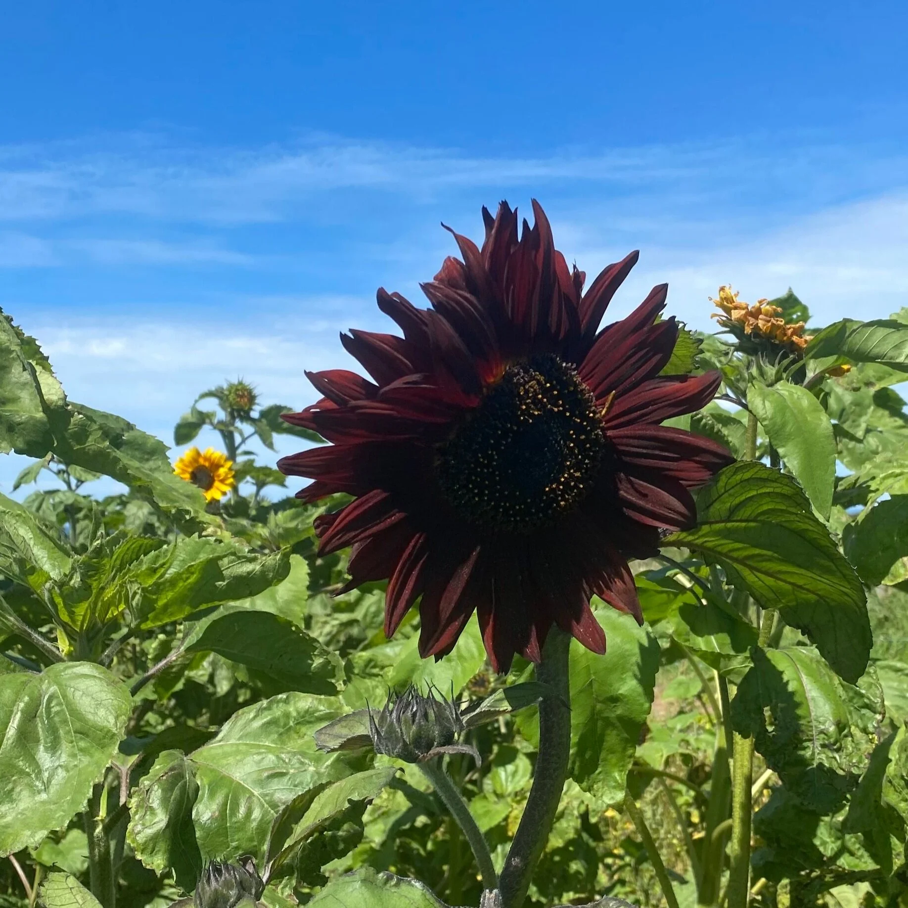
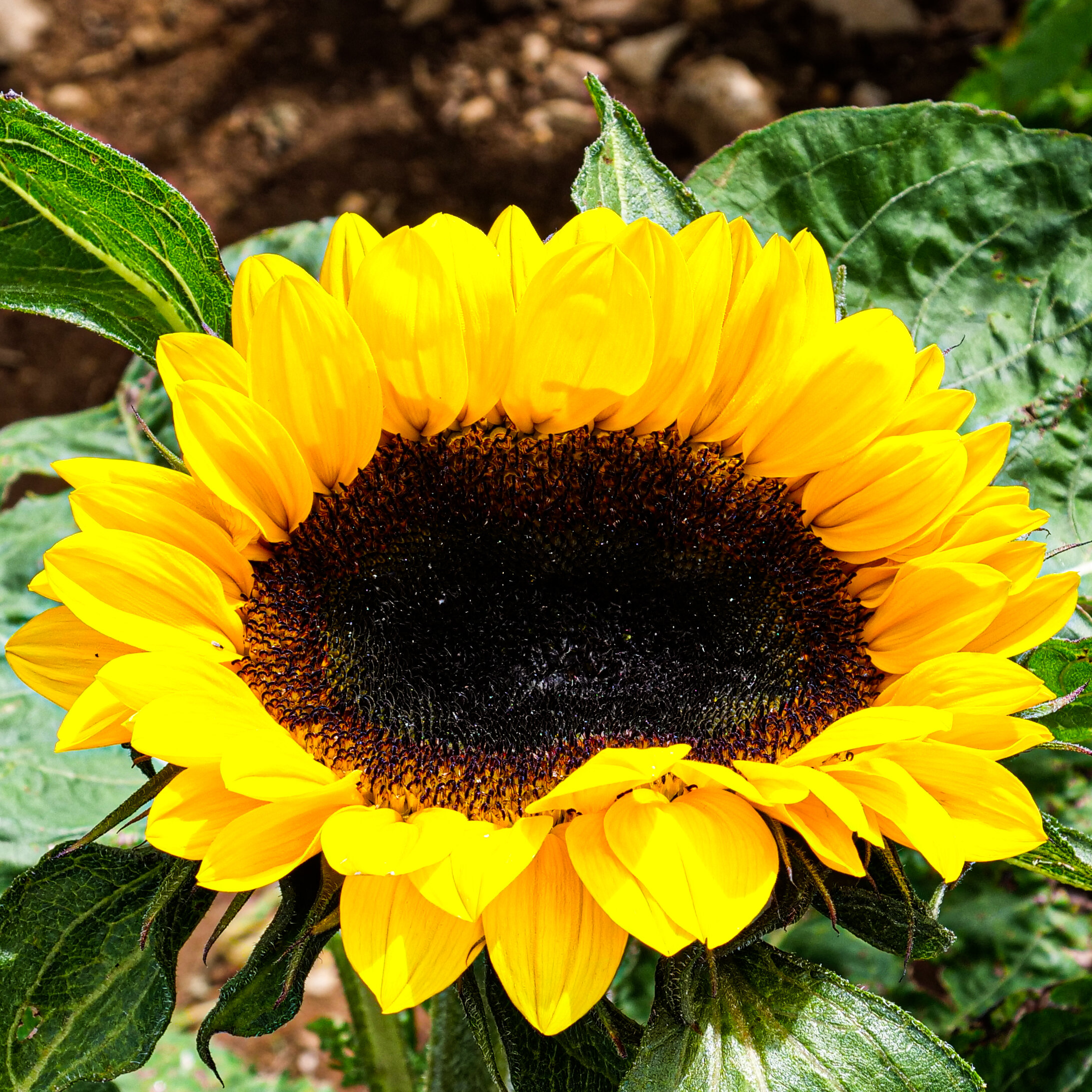
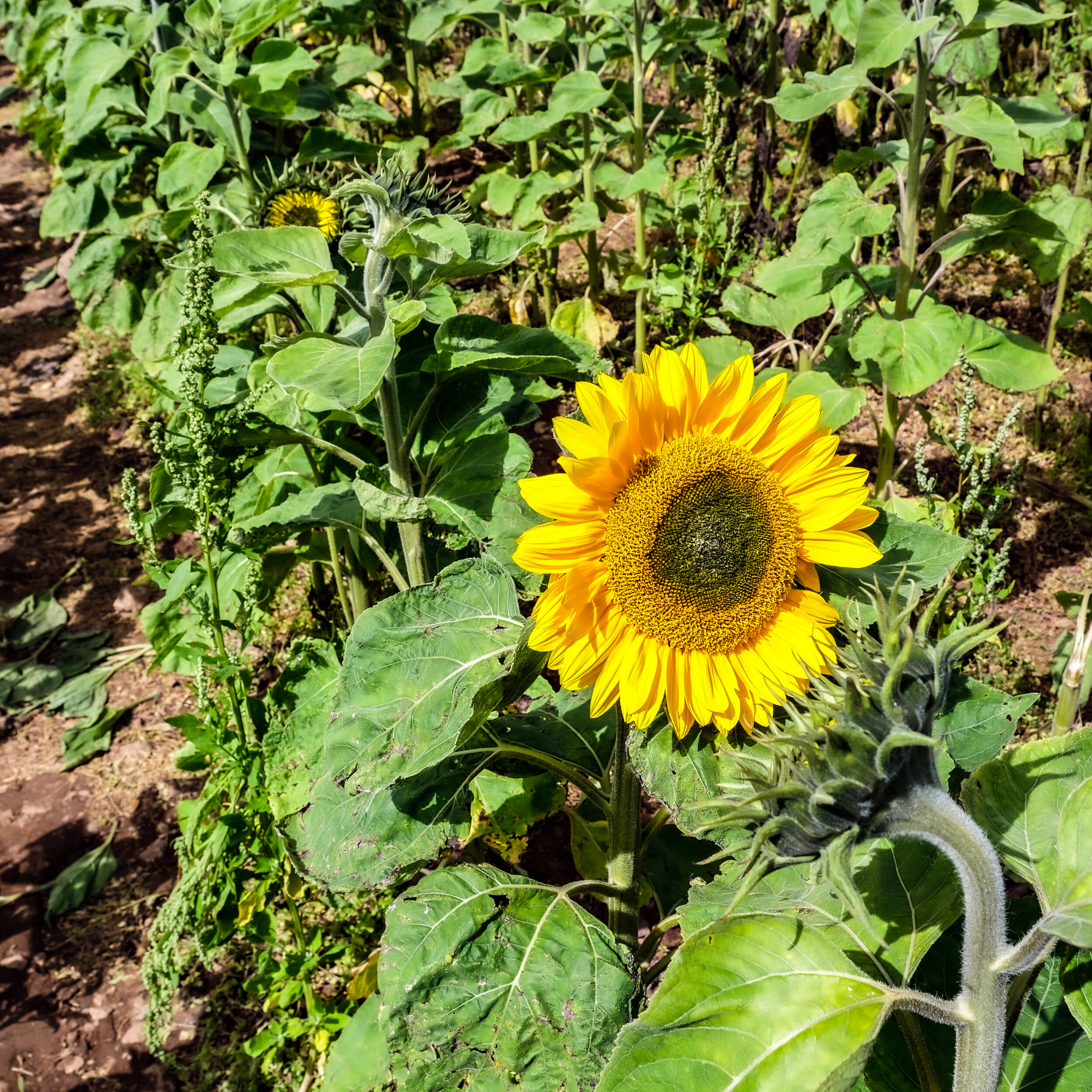
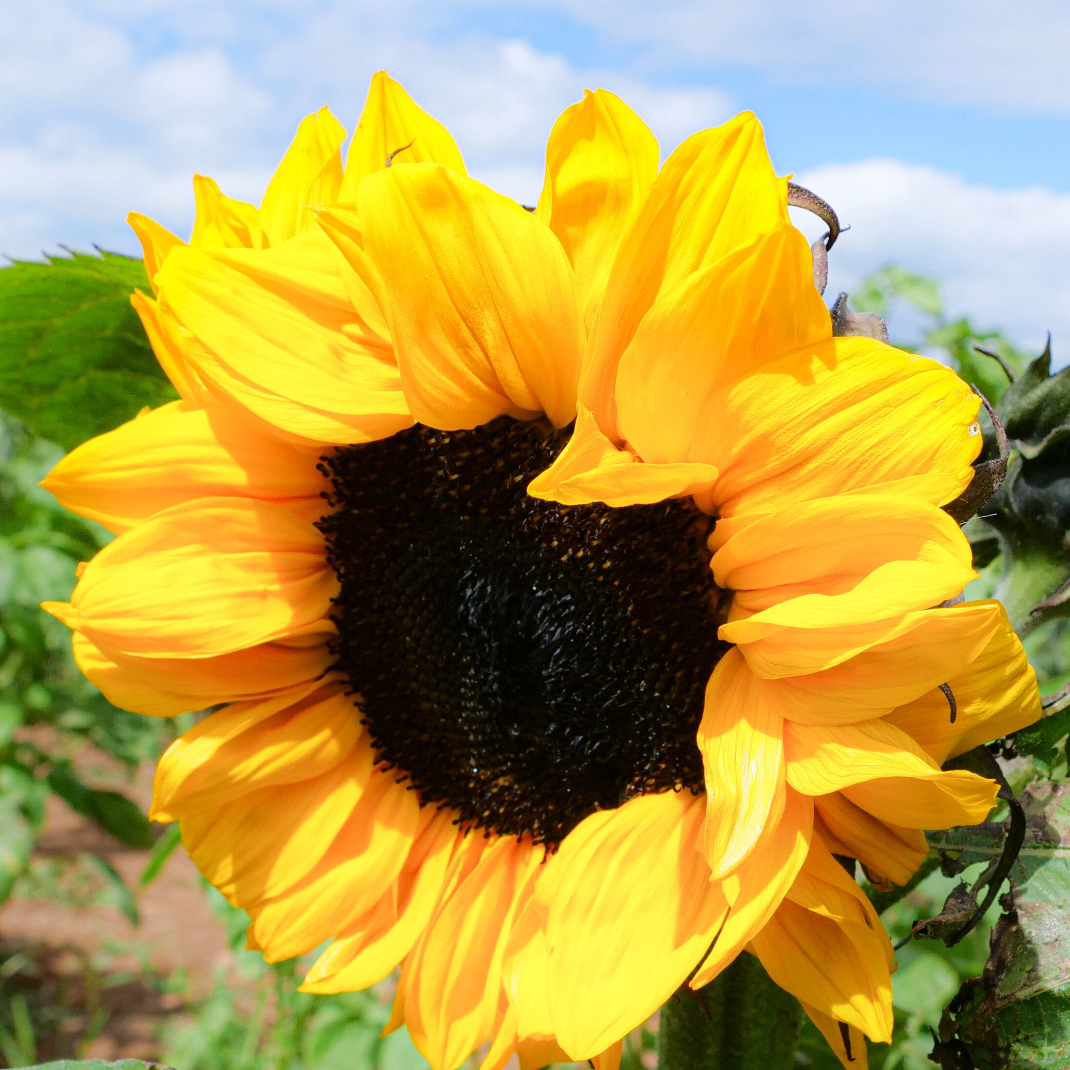
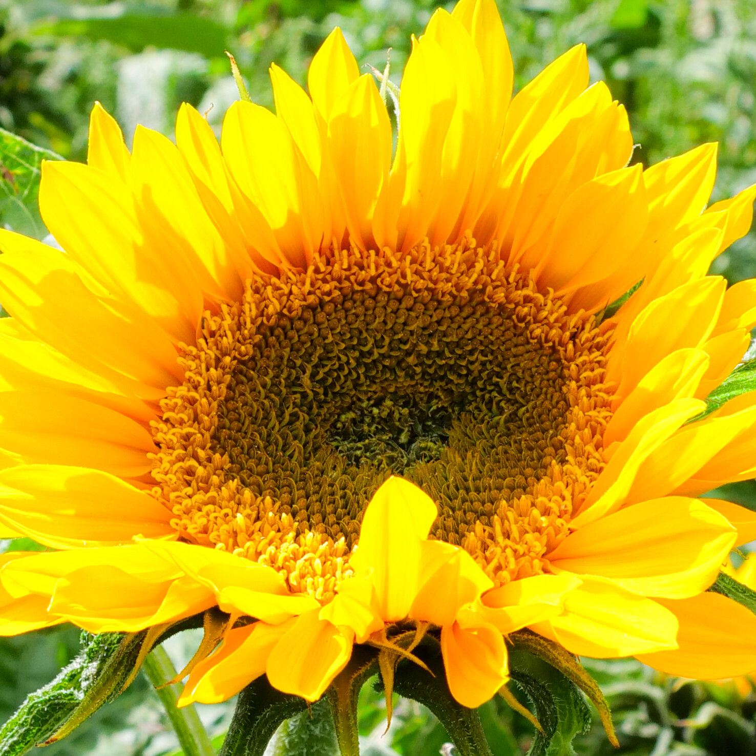

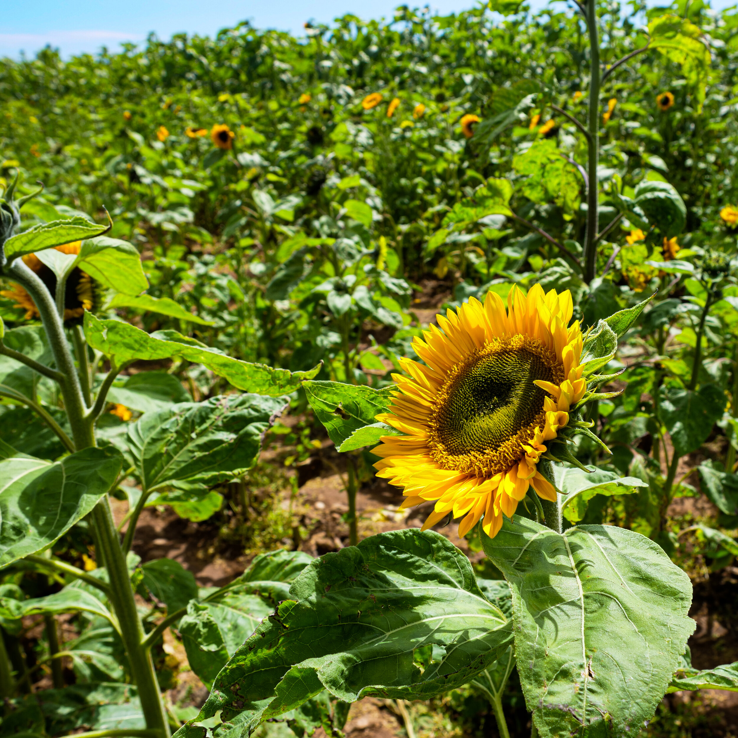
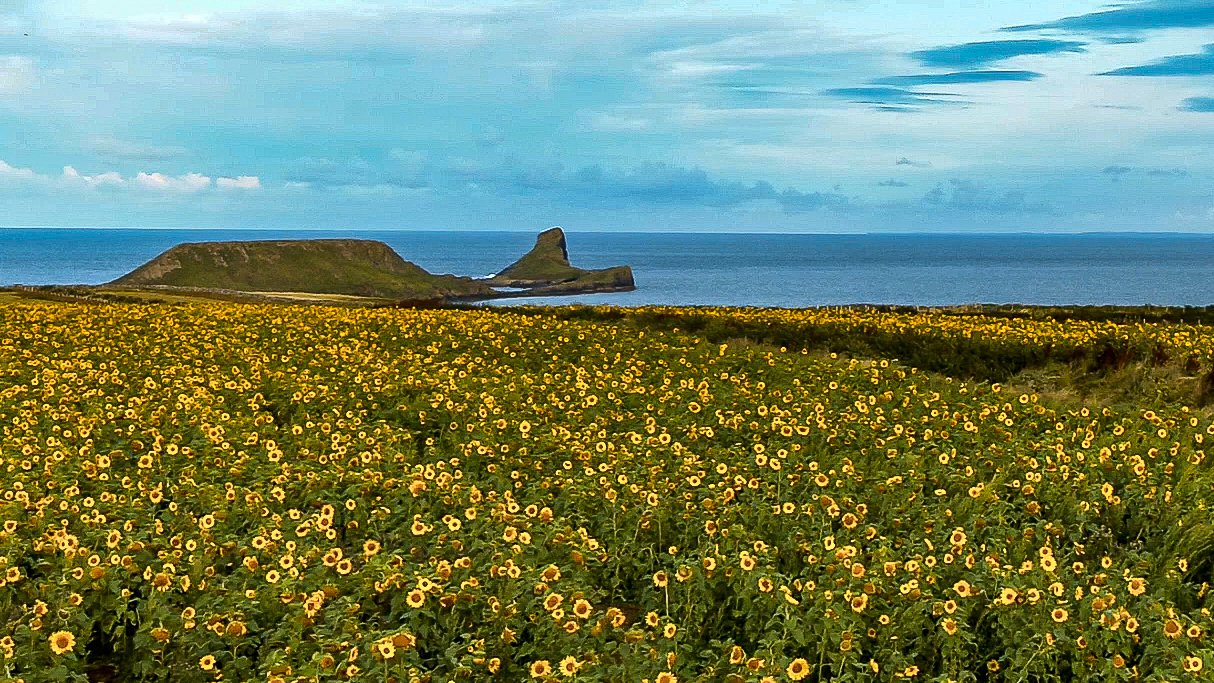
August 2020: Sunflowers on Display at Rhossili - A popular annual attraction. Free to visit and you can purchase what you pick - remember to bring your own cutters
Access to the beach;
There is a steep but good path that leads down the side of the cliffs, but it’s a challenging climb back up to the car park. For spectacular panoramic views over the bay why not walk up Rhossili Downs, the climb and views will take your breath away, but well worth it!
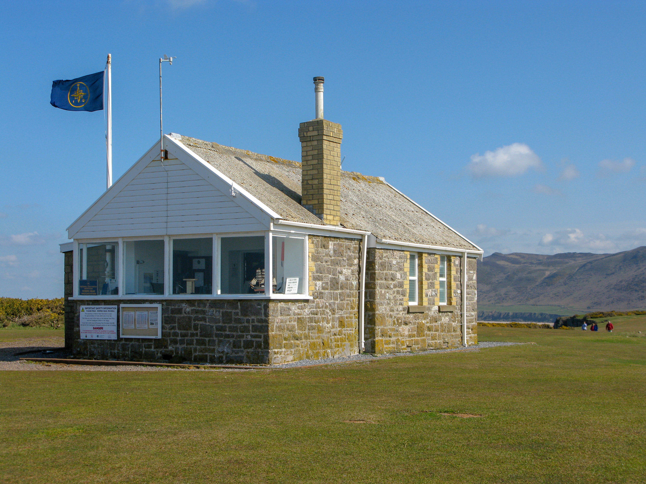
WARNING: There is no Lifeguard patrol on this beach, do not swim in big surf as there are strong undertows. Before you walk out onto Worm's Head please check the tide times carefully and allow enough time to get back.
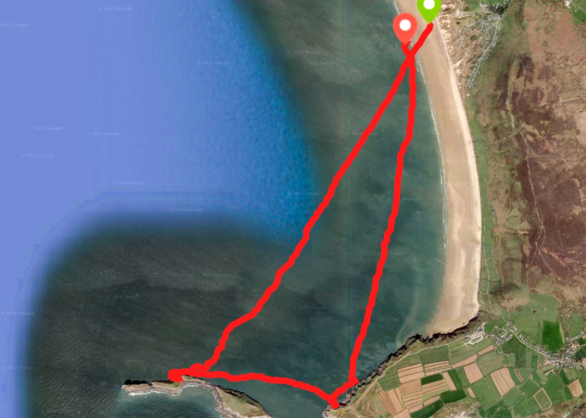
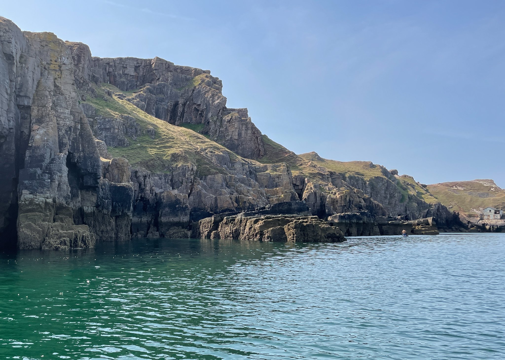
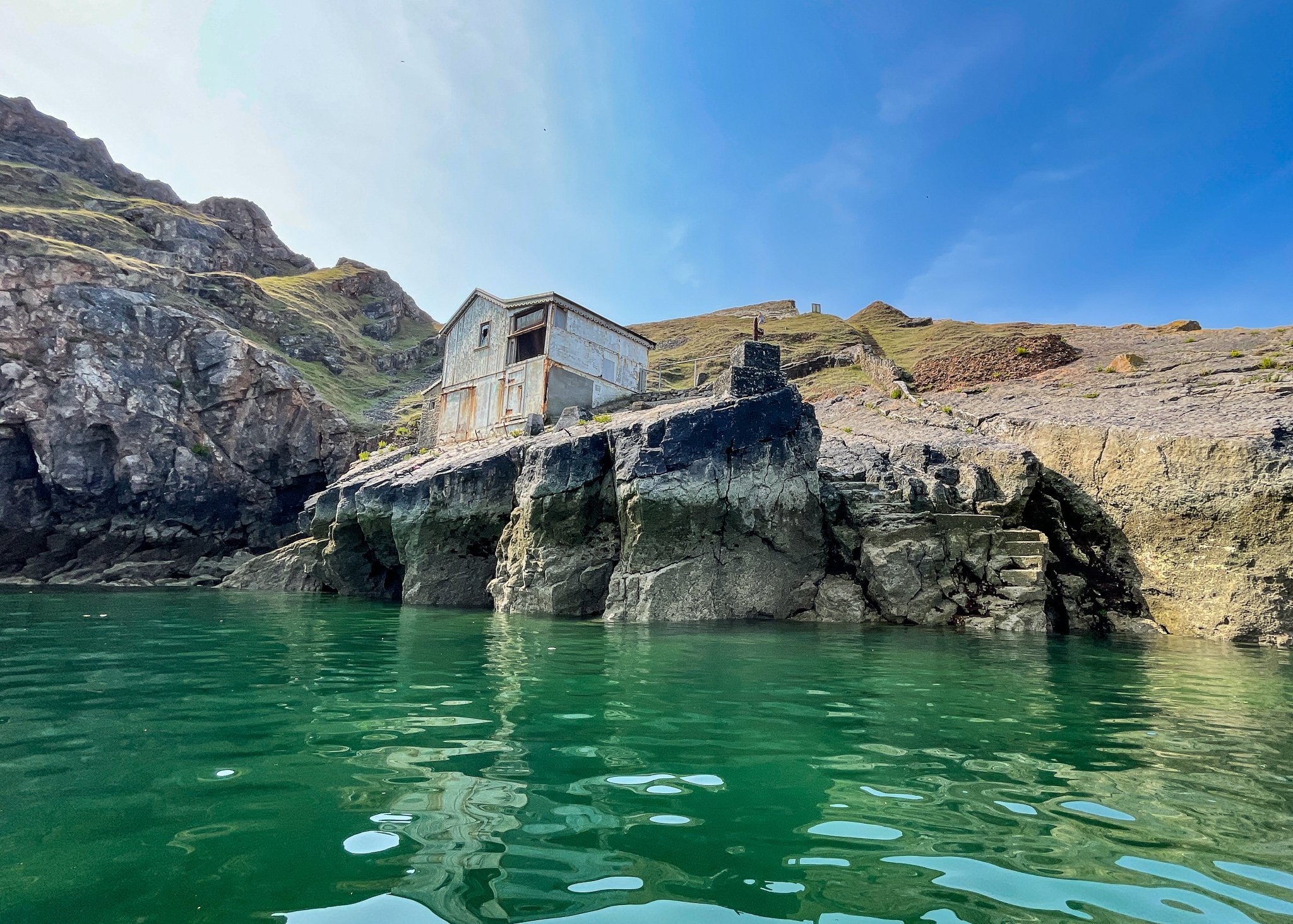
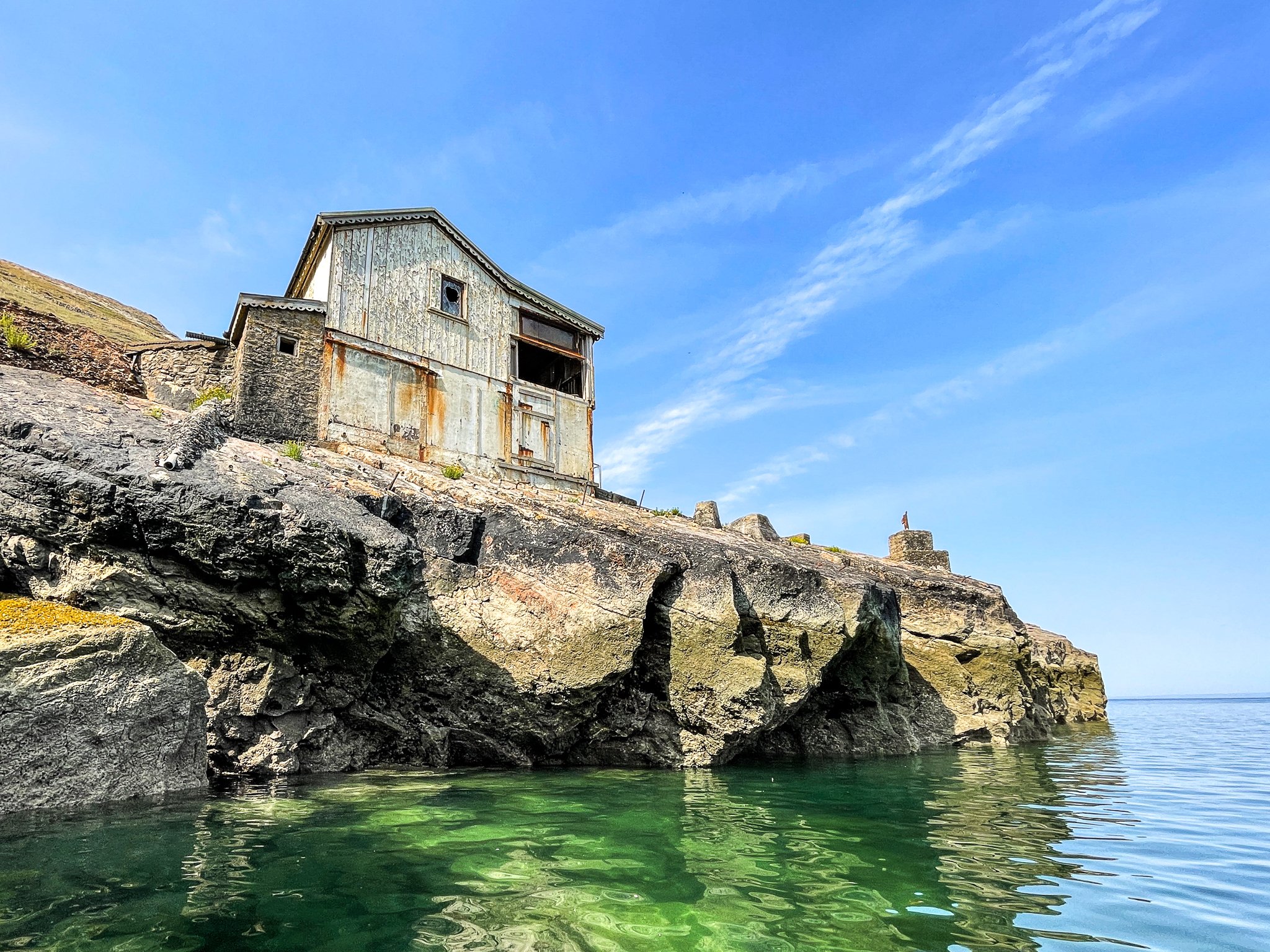
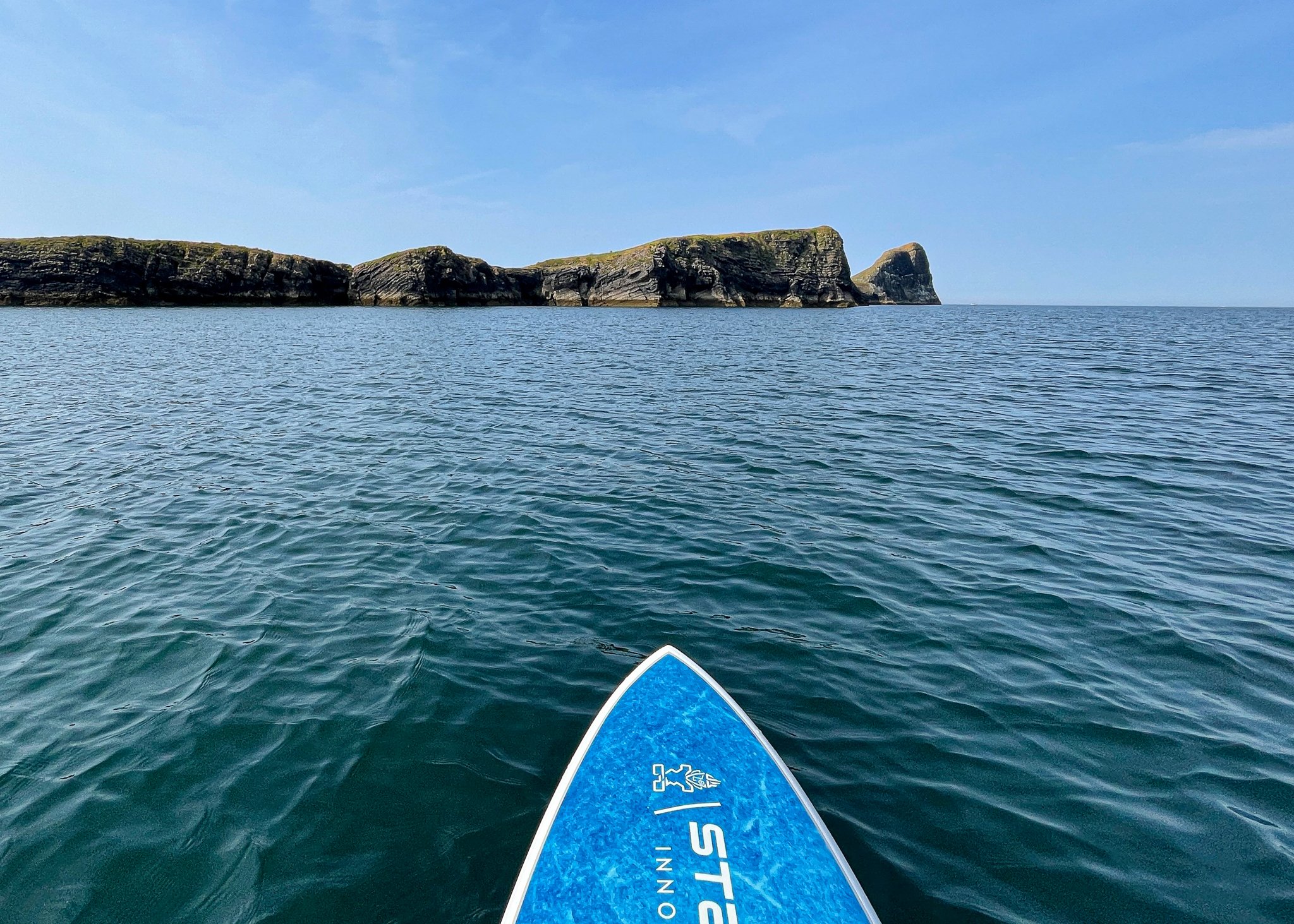
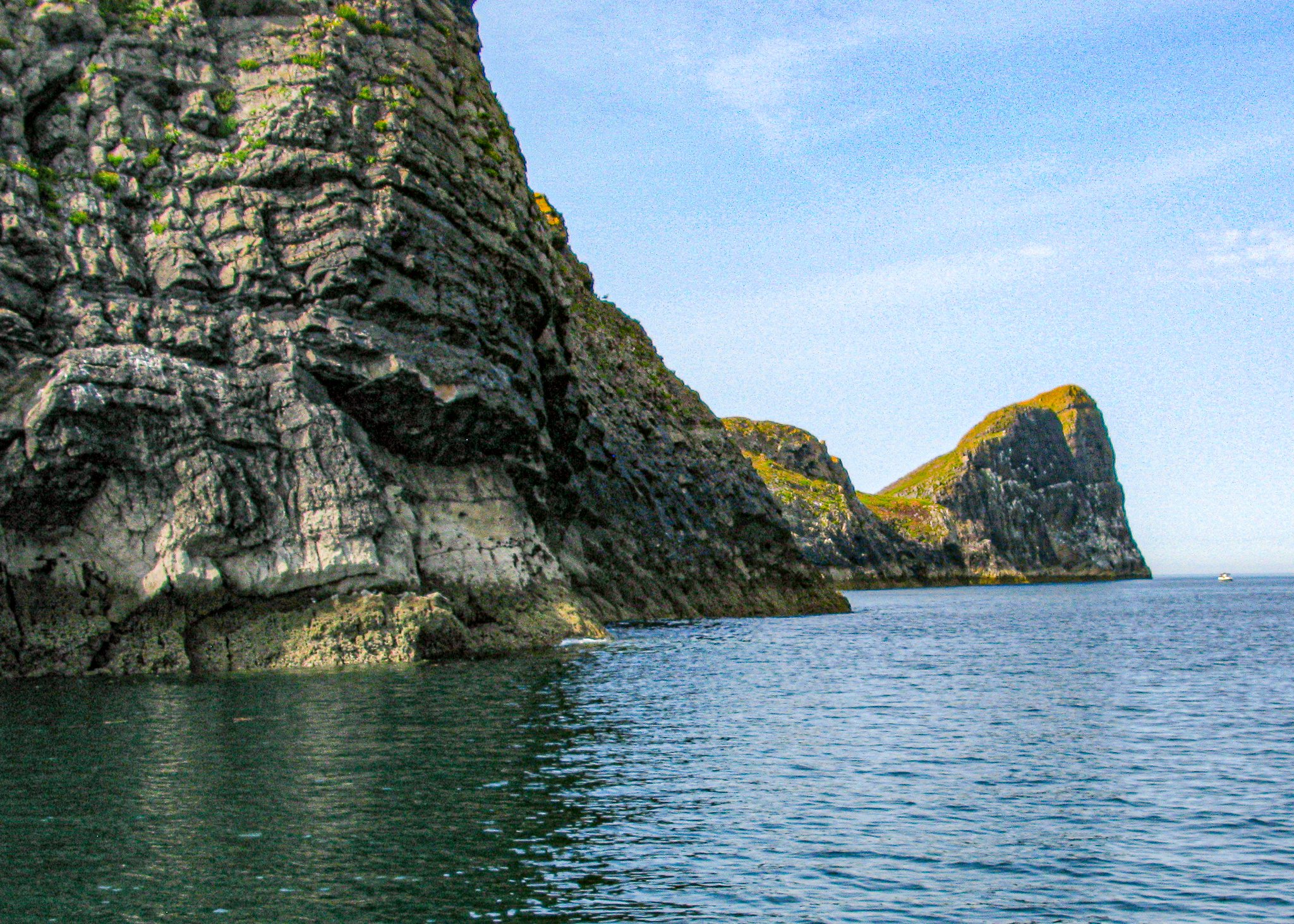
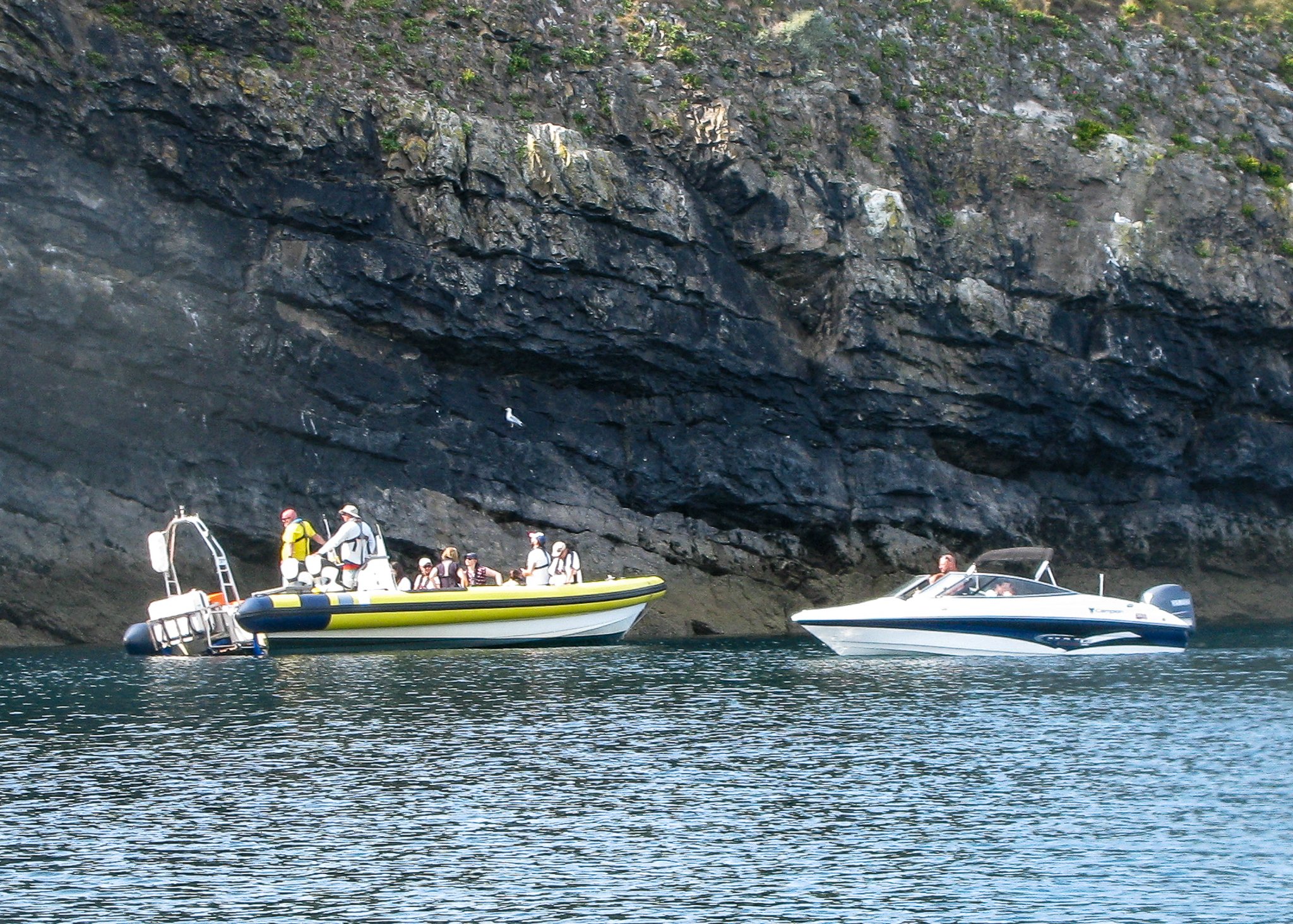
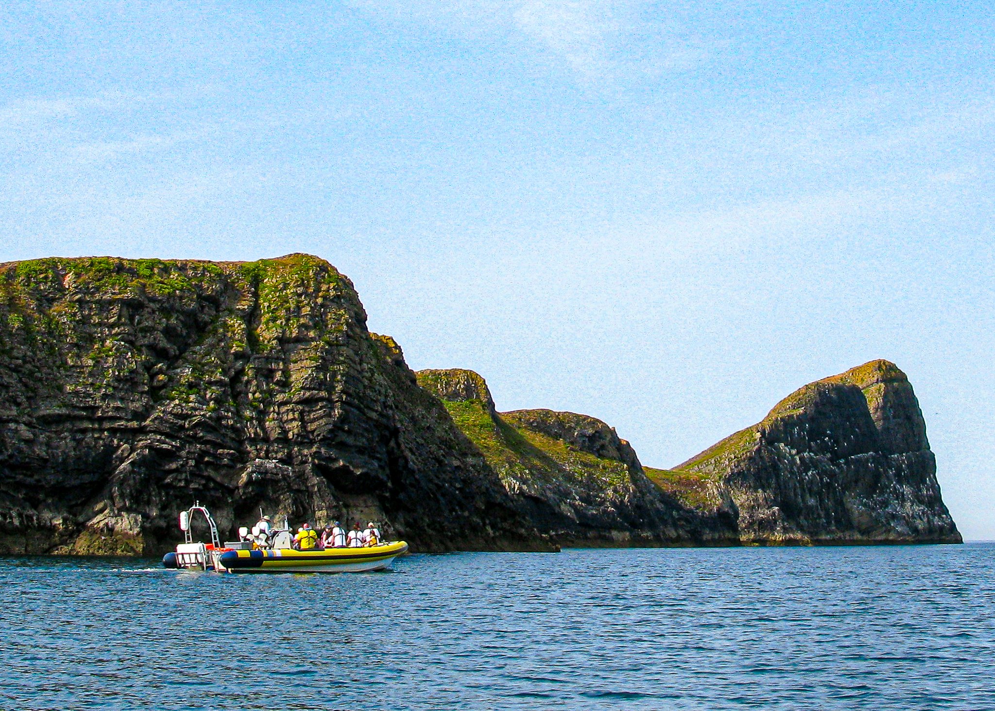
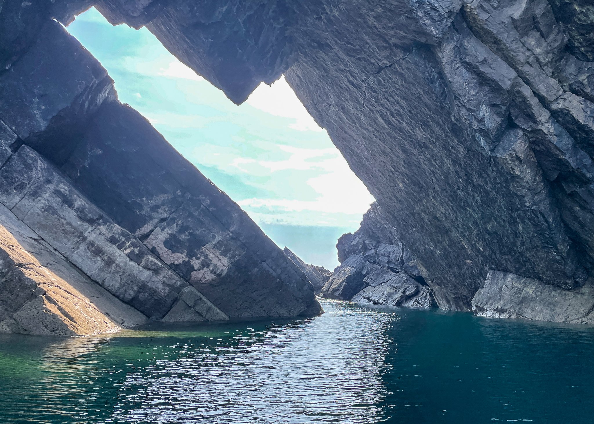
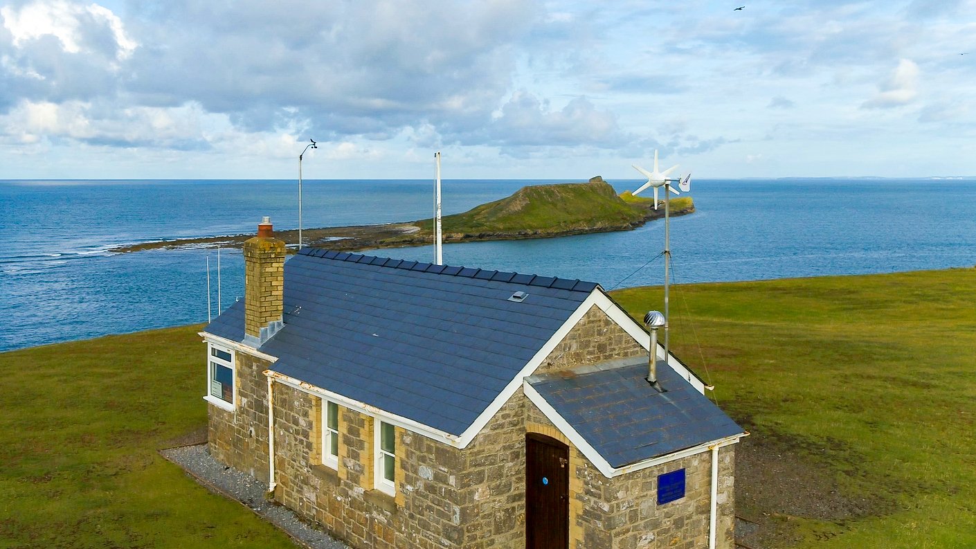
Llangennith to Worms Head. This 9Km SUP tour started at Hillend. Conditions were favourable; light northerly winds turning easterly. We launched at high tide and headed out towards Worms Head. First impressions were that it looked a long way to paddle, to our surprise, it only took 40 minutes to get to Devils Bridge. Enroute we spotted a pod of dolphins and some barrel jellyfish. Upon arrival, we found a yacht and power boat moored off this collapsed sea cave. The ‘Sea Serpent’ rib operated by Gower Coast Adventures joined us. A few observations to share on the transit, once we were inline with the causeway (1 hour after top tide) there was a noticeable increase in the wind, this declined as we got within the shelter of the outer head. We also noticed, what could best describe as a series of eddies in the water, but these were not difficult to cross. There was certainly tidal movement caused by the ebbing tide, (2-3 knots). The Devils Bridge is very dramatic and home to some grey seals. One day it too will fall into the sea. Until then it’s one of the most photographed features on the island. Our next destination was Kitchens Corner, located on the far corner of the inner head, this took us less than 20 minutes. The two-roomed, boathouse was built in the 1920s. This building has never been permanently lived in, but was used to store boats and fishing equipment. Under the right conditions a great place to have a swim!. After a short rest, we paddled back along the cliffs admiring the scenery and watching climbers ascend at numerous points. The journey back took 35 minutes. This was a very enjoyable tour that could be achieved in 2 hours, but I think that we would spend more time taking photos next time.
Disclaimer: Conditions at best are variable and are determined by many factors, including, wind strength and direction, time of tide, size of tide, and currents. It is up to the individual to risk assess conditions before setting out. The level indicated is based on favourable conditions and is an indication and not necessarily an accurate. reflection of what you will encounter.

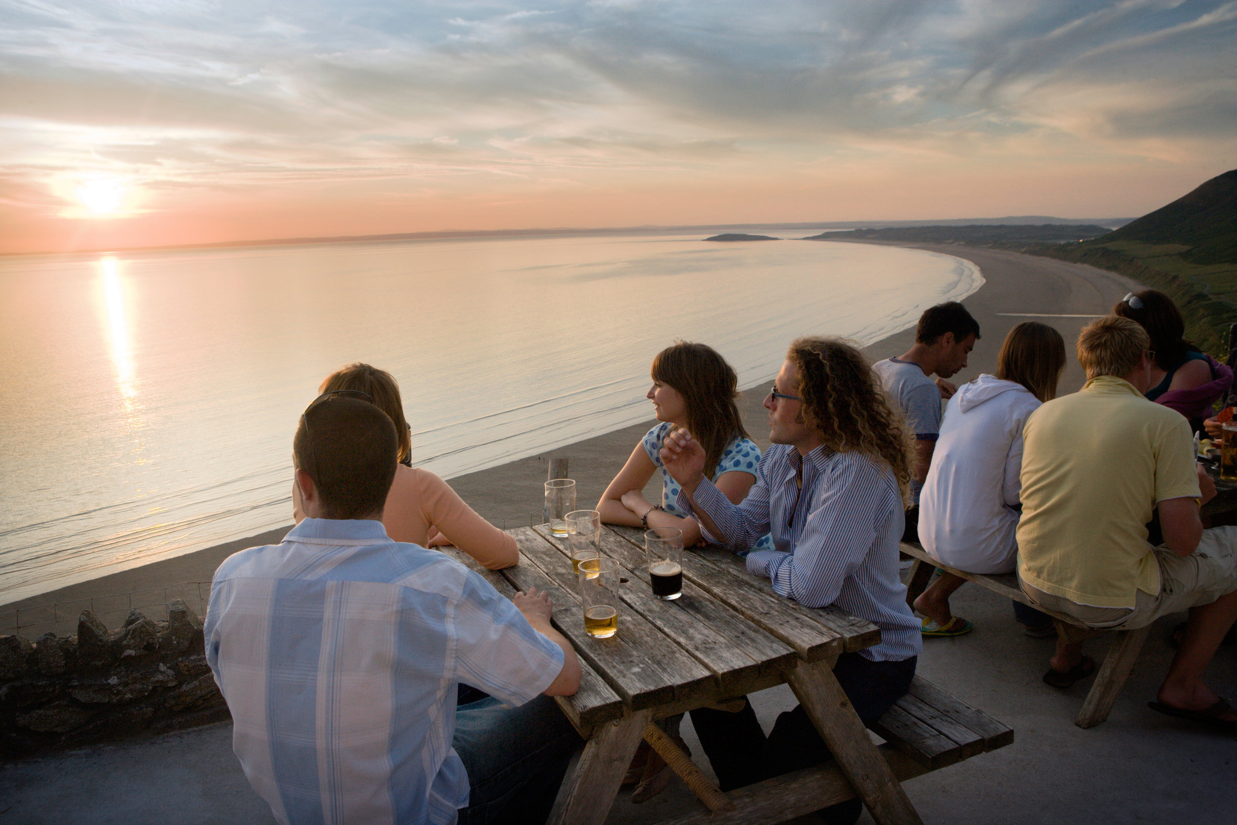
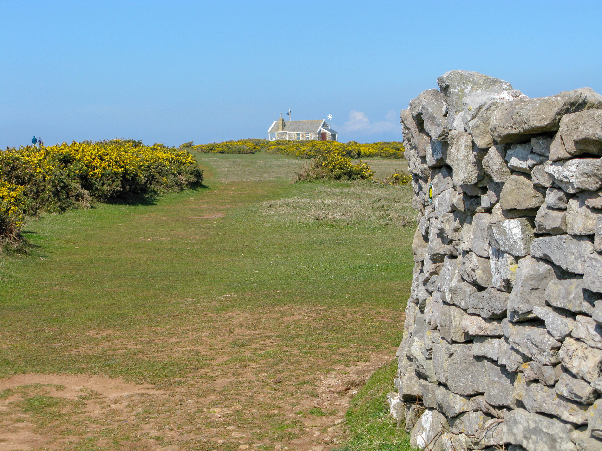
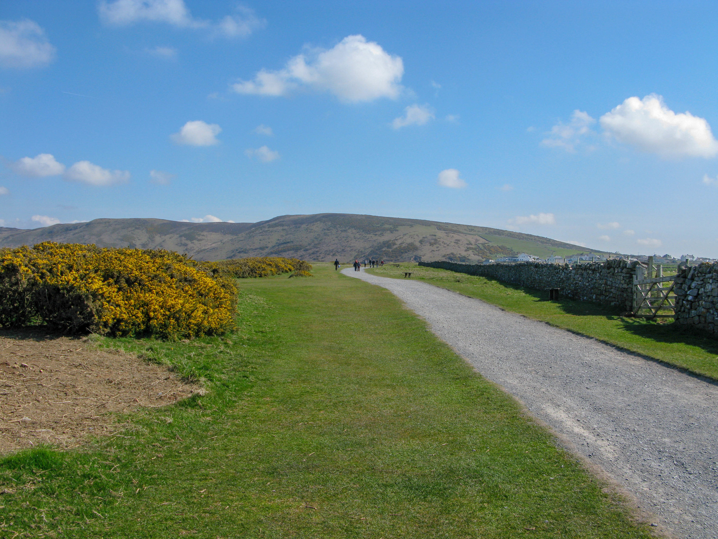
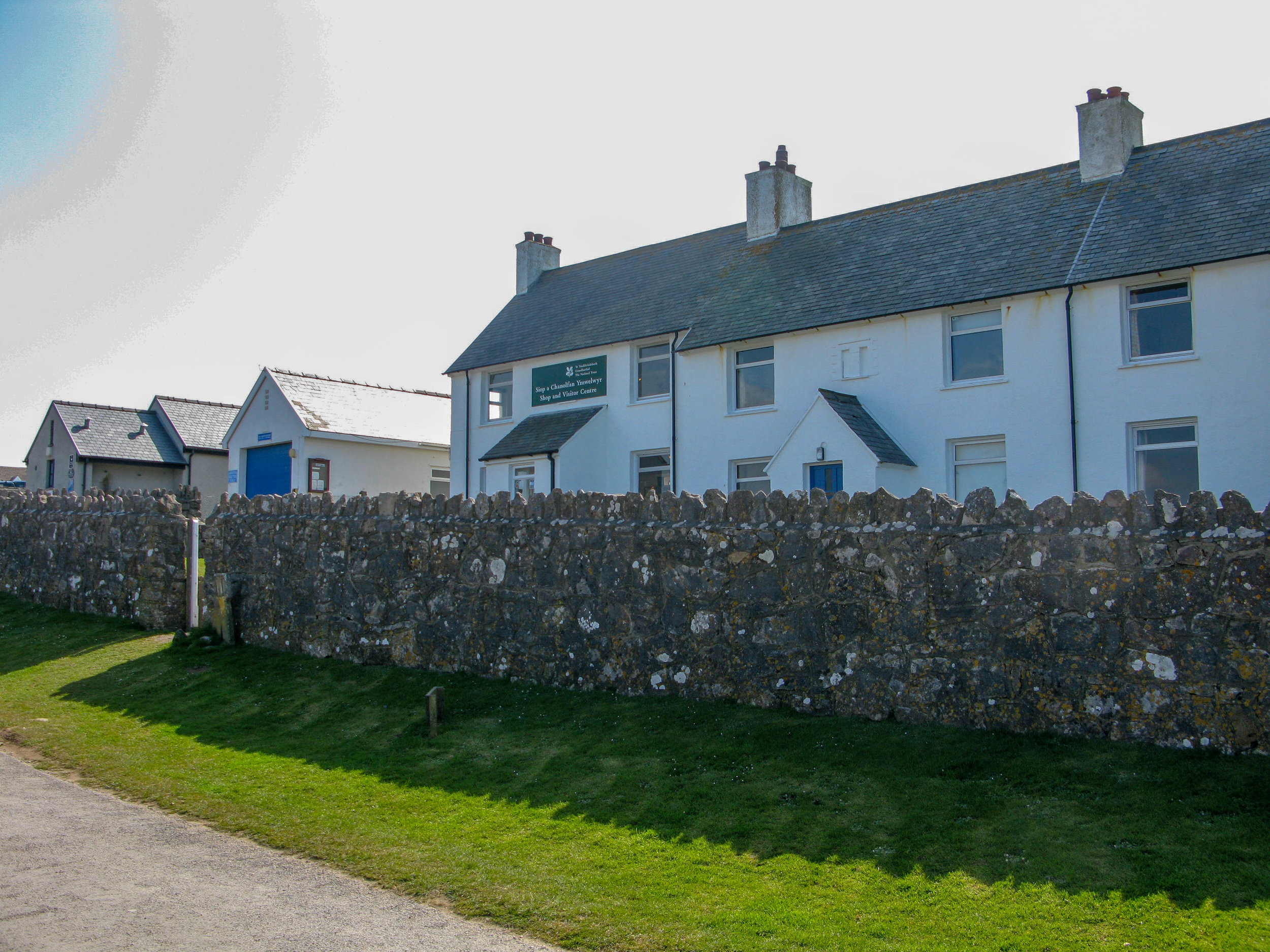
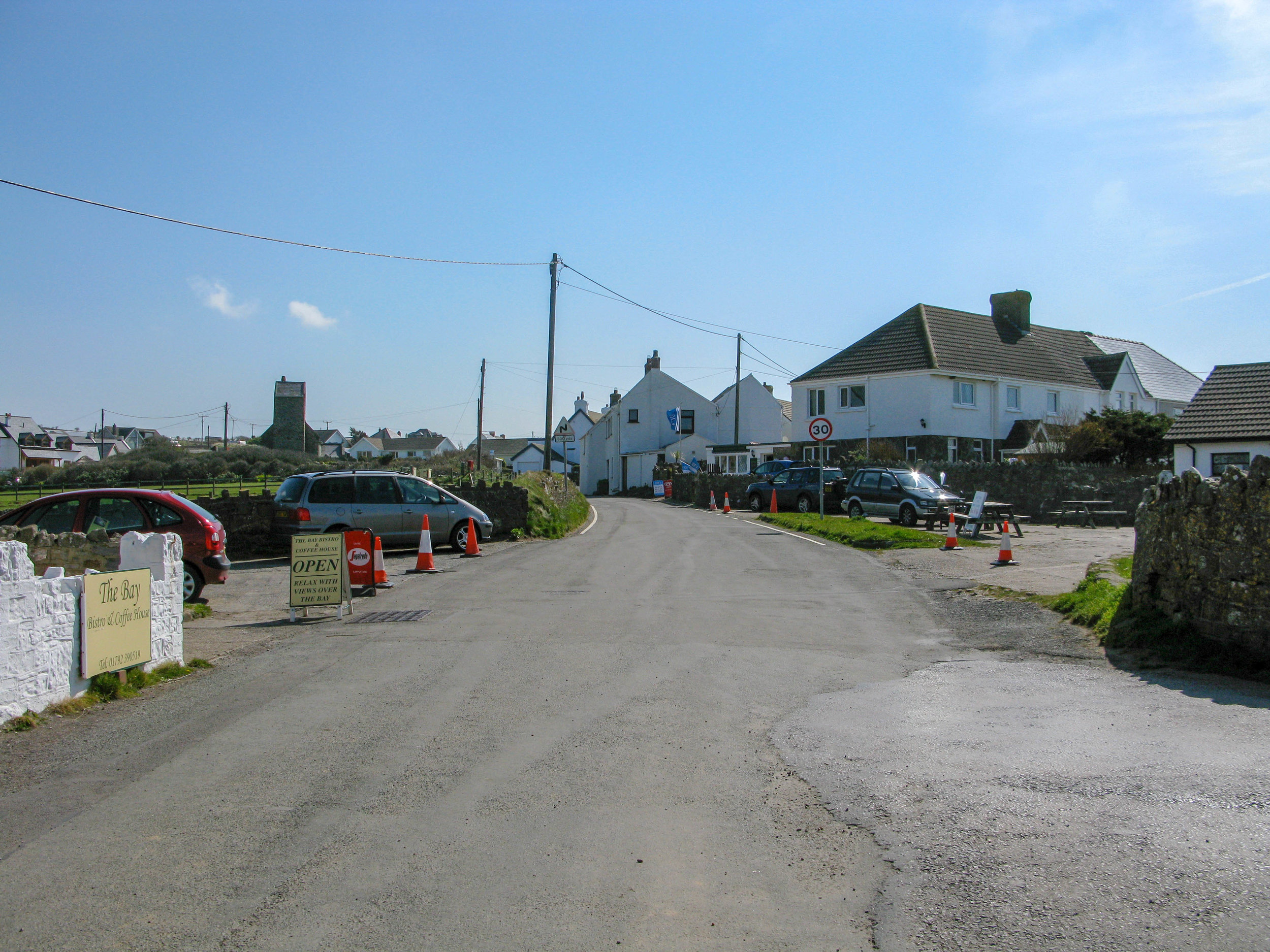
At the western end of Gower, the village of Rhossili, a gateway for walkers and beach lovers, lies above the dazzling sandy crescent of Rhossili Bay. The terrain west of the village is largely owned by the National Trust, and for most of the year there is a helpful NT information centre where important information such as tide times can be found. In the church there is a memorial to Petty Officer Evans, who was born here and perished with Scott in the Antarctic in 1912.
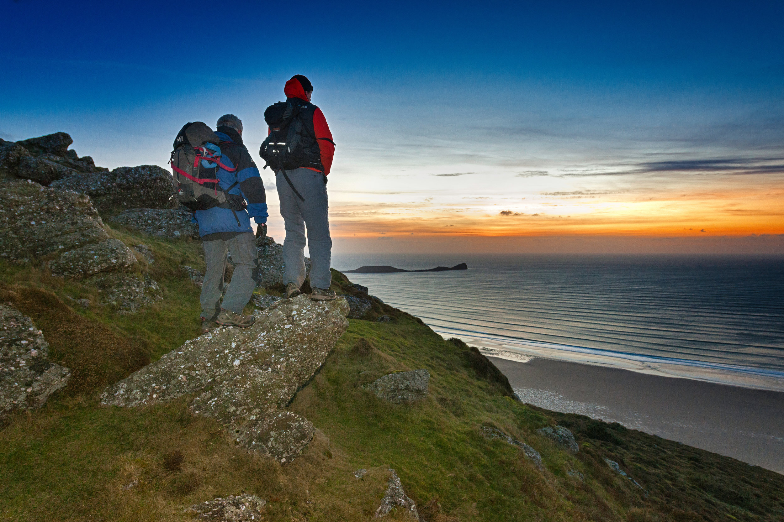
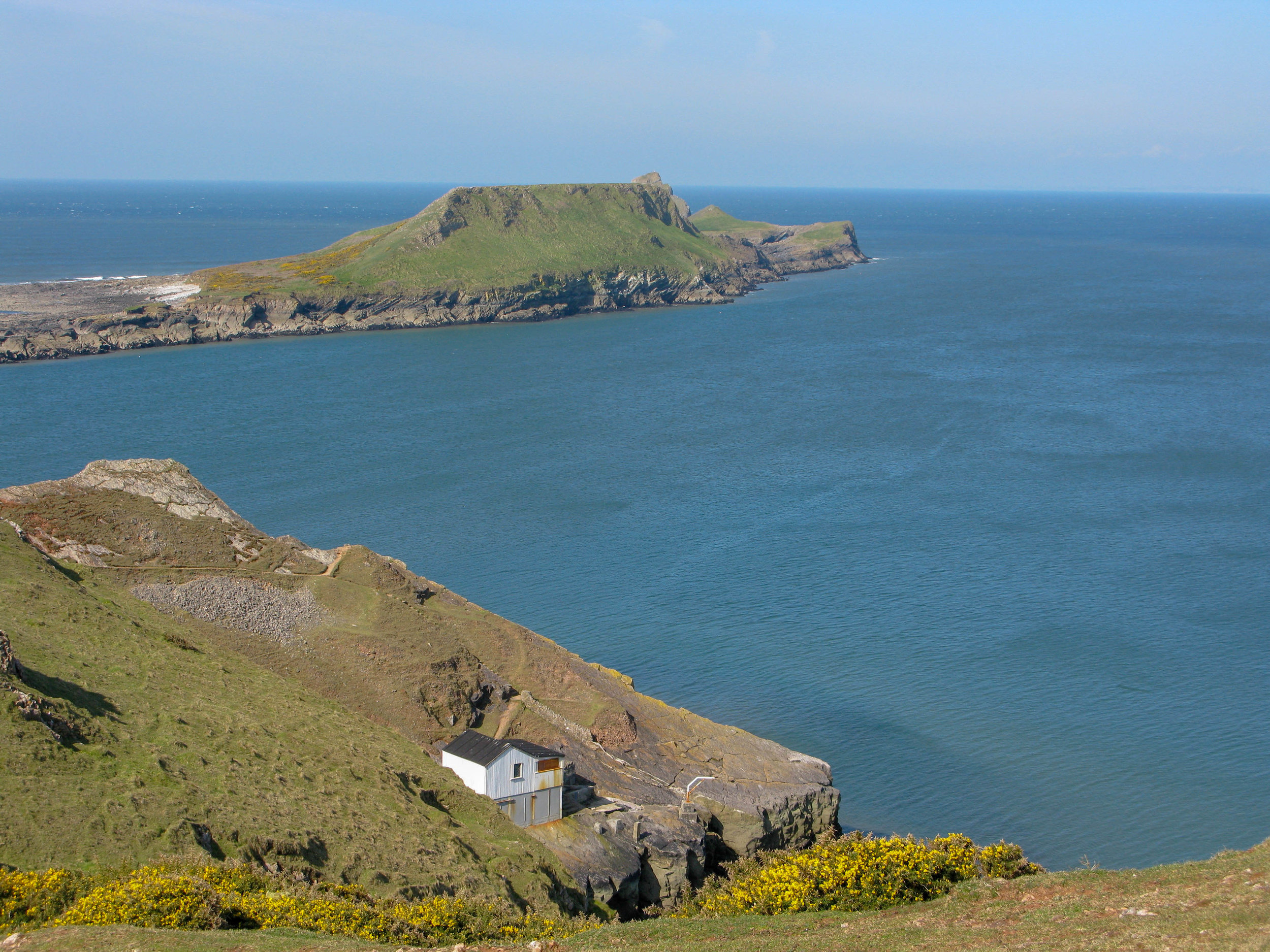
Dylan Thomas portrayed the high, open headland to the west of the village as ‘rubbery, gull-limed grass, the sheep-pilled stones, the pieces of bones and feathers’, and that exactly sums up the low-level ground environment, which, combined with exhilarating seascape, makes for agreeable walking on any sunny day at any time of year. It leads to Worm’s Head (from the Viking wurm, aptly meaning ‘dragon’), two rocky islands joined to the mainland by a narrow causeway accessible only at low tide and to one another by Devil’s Bridge, a narrow neck of rock. On the outer island, which rises abruptly to 200 feet, a booming blow hole throws up water visible from the village nearly two miles away.
From the southern side of the headland there are magnificent views of the South Gower coast to Port Eynon Point, with cove after cove receding into the distance, battered by rolling waves. Below is Fall Bay, with its raised beach of conglomerate shells. Beyond it is secluded Mewslade Bay, dominated by the white limestone pinnacle of Thurba Head, which is crowned by the remains of an Iron Age hill fort.

Thurba Head, Mewslade, Gower
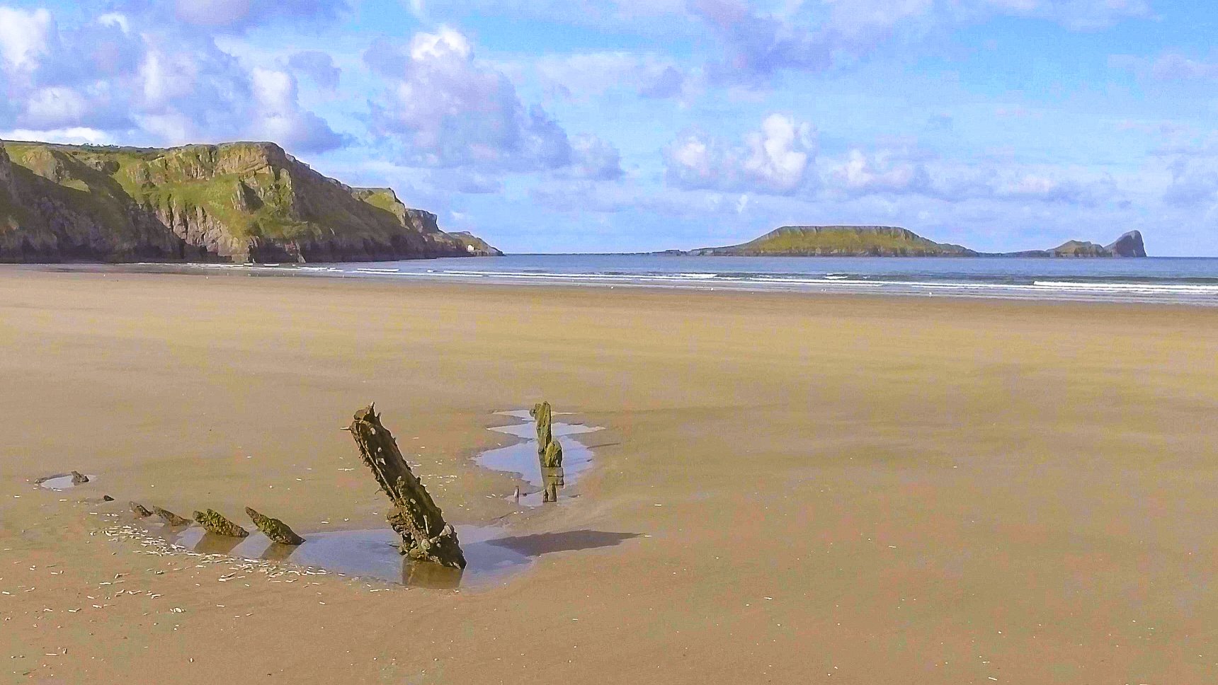
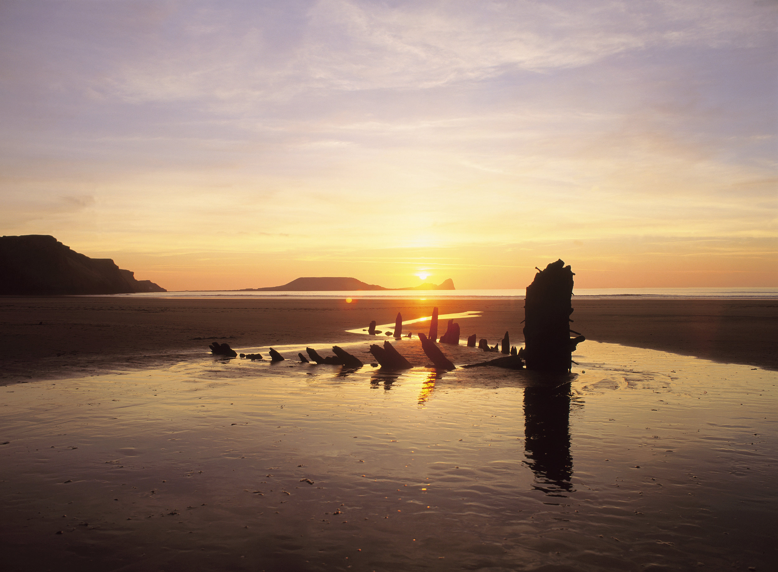
Rhossili Bay, the largest expanse of white sand on Gower, stretches for three miles to the islet of Burry Holms and is regarded as one of Europe’s great beaches. It is broken only by the skeletal remains of wrecked ships, most notably Gower’s best known wreck, the Norwegian barque Helvetia, which was driven onto the beach in a gale in 1887.
The bay was carved out by the Atlantic Ocean from the imposing Rhossili Down, whose green bulk looms over the whole vast arc of sand. The sandstone Down, at 633 feet the highest point of Gower, is a favourite launching point for hang-gliders. On a clear day there are fine views of Lundy Island, and on a clear evening there are breathtaking sunsets.

© Crown copyright 2017 (Visit Wales)

Photography © Chris Gill Jones 2016