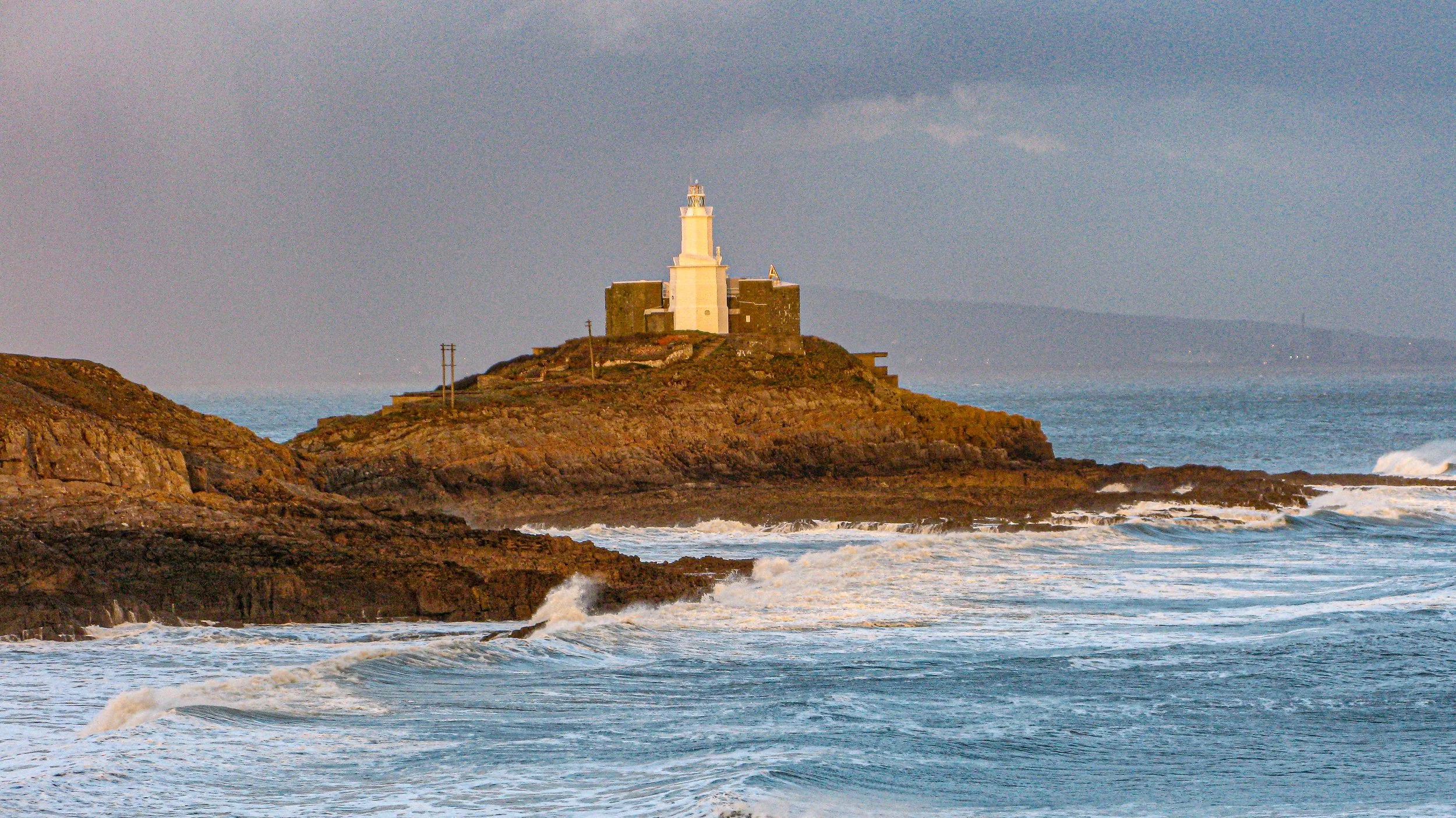
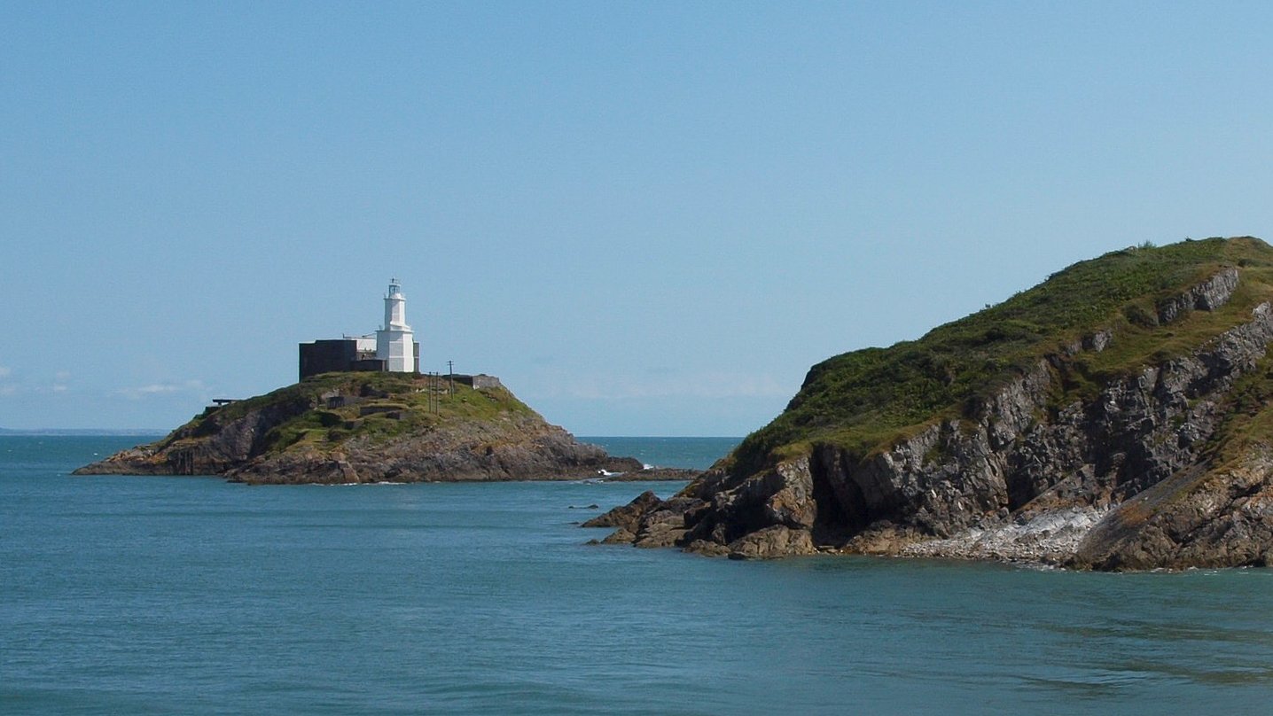
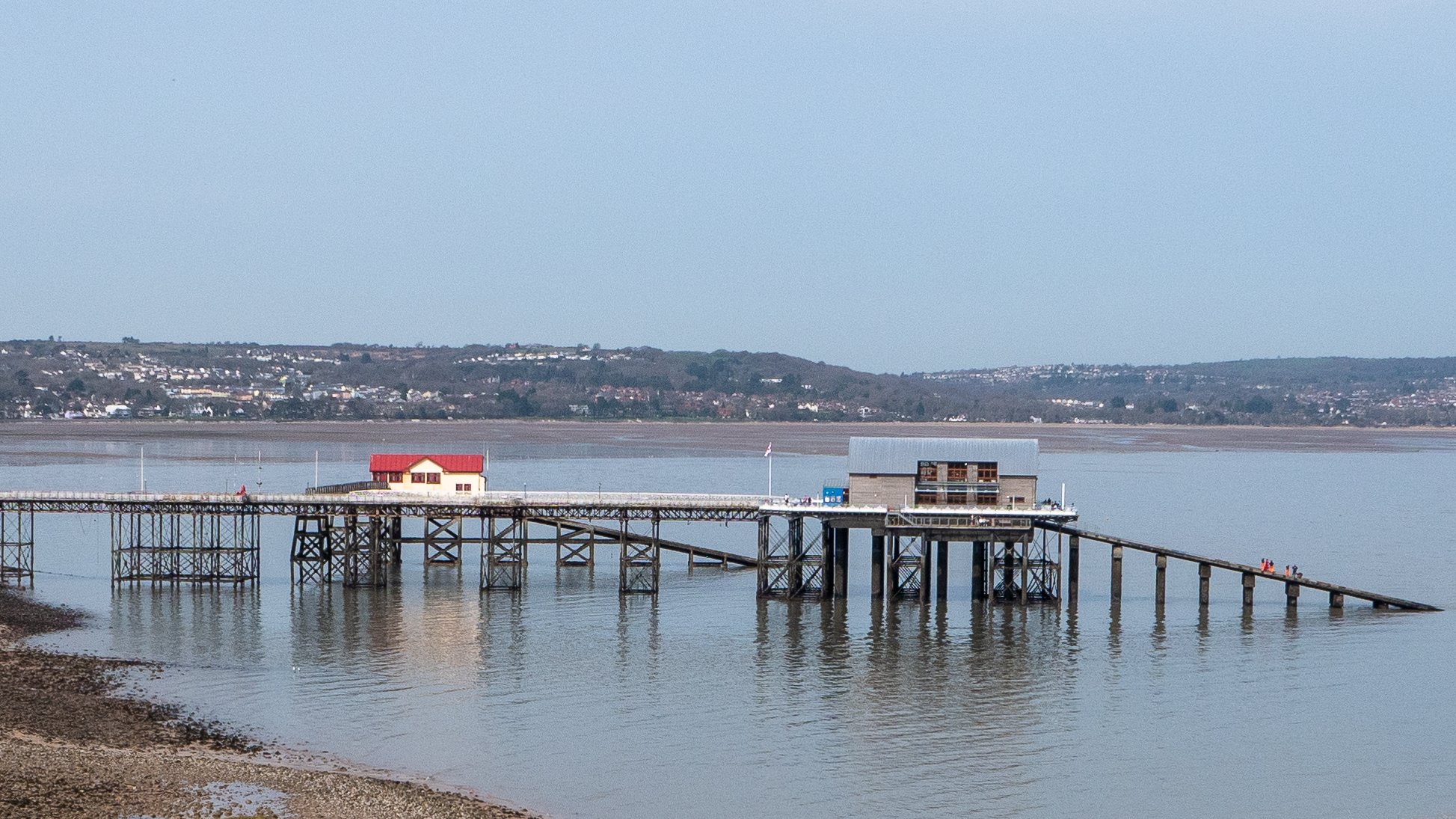
For over 200 years, Mumbles Head has been home to a lighthouse. the original Mumbles Lighthouse was built in 1794 and the structure, which sits on the outermost of two islands off Mumbles Head, can be seen from anywhere along the five-mile stretch of Swansea Bay. It is the most photographed landmark in the village, along with the nearby lifeboat station. The main tower, which was built in 1794 and has two tiers, was originally lit by two open coal fire lights. These open coal fire lights were difficult to maintain and were quickly replaced by a single oil-powered light contained within a cast-iron lantern. A dioptric light was added to the oil-powered light in 1860. and the War Department built the Mumbles Battery, a fort that surrounds the tower In 1905, an occulting mechanism was installed, which caused the light to flash. In 1934, this was partially automated. The cast-iron lantern had deteriorated beyond repair by 1977 and was removed. In 1987, a new lantern was added. The lighthouse was converted to solar-powered operation by Trinity House in 1995, and it is now monitored and operated from Trinity House's Planning Centre in Harwich, Essex.

Mumbles Lighthouse was built in 1794 to guide ships along the coast and into Swansea Bay, past the hazards of the Mixon Shoal half a mile to the south.
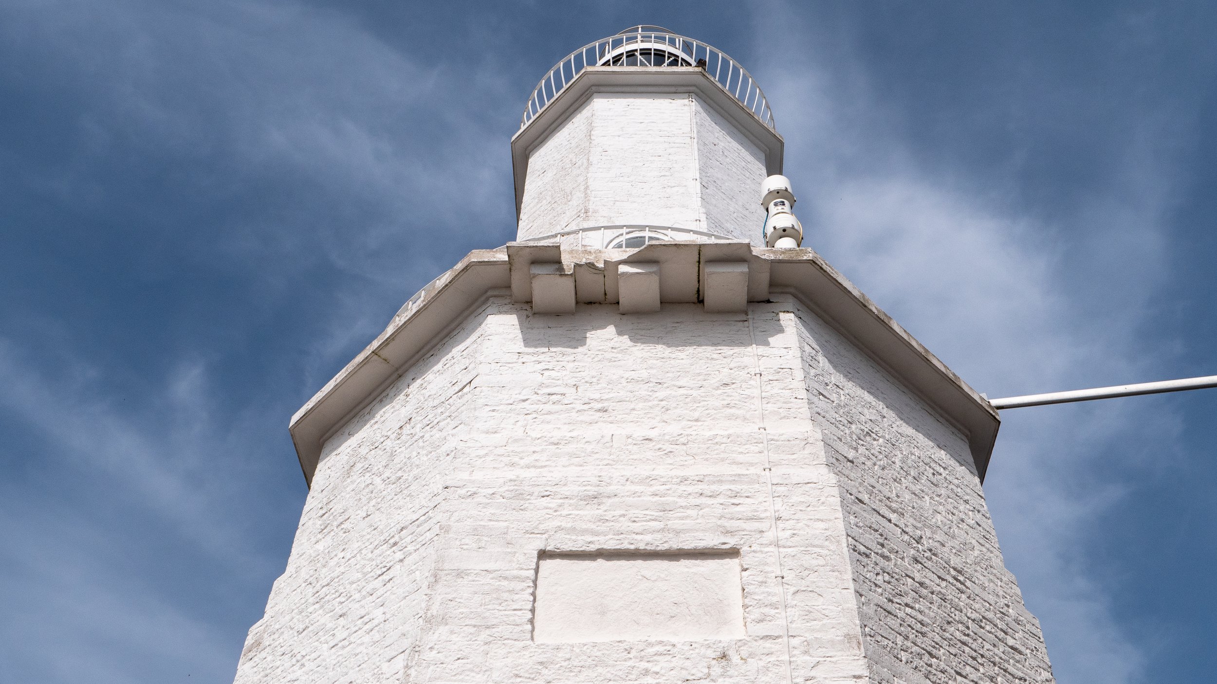
Height: 17 metres (56 ft)
Range: 15 nautical miles (28 km)
Intensity: 13,700 candela (one candela is roughly the equivalent of the light from one candle)
At low tide, you can visit the lighthouse, but you must be careful not to become trapped on the Island by the incoming tide and require rescue. To get to the lighthouse, walk past the pier amusements and down the concrete steps to the small beech. The sand soon gives way to a tidal rock obstacle course covered in seaweed. To get to your destination, you'll have to walk just over 100 metres. (Allow 20 minutes to cover this distance).
The rock strewn path from the mainland to the outer head ©Enjoygower
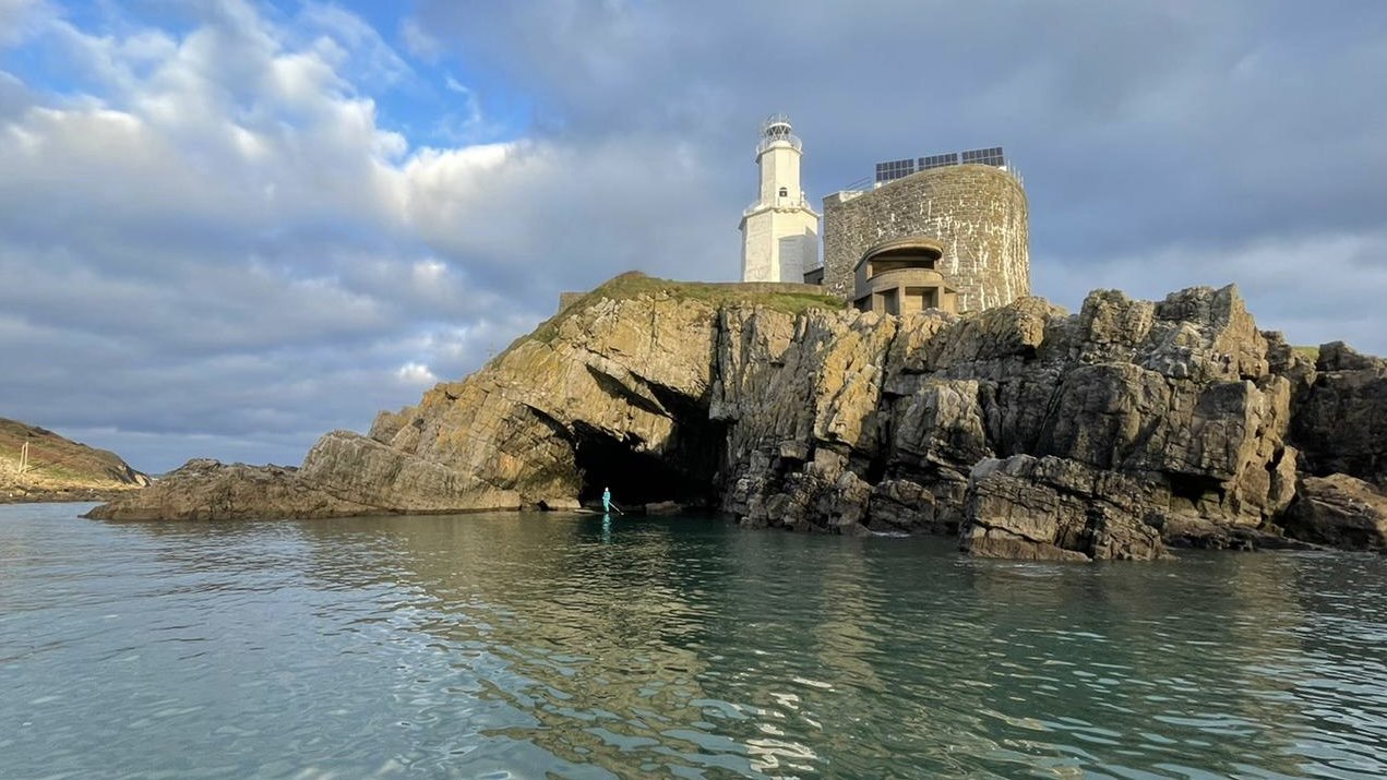
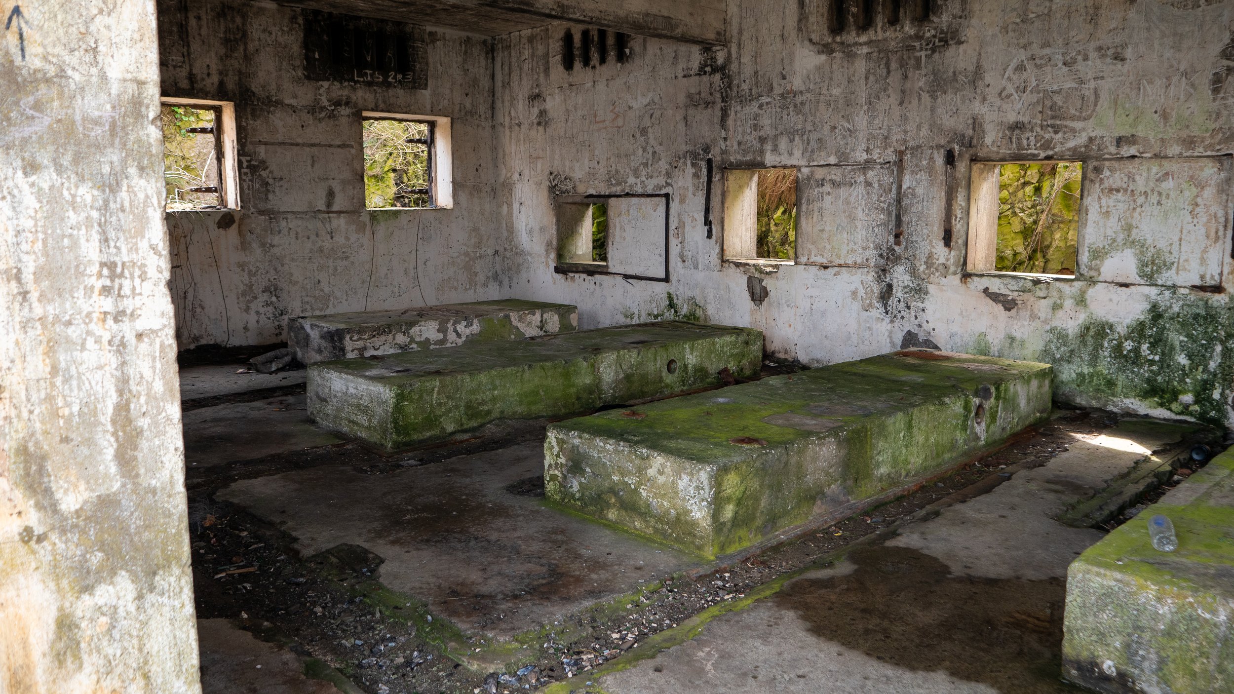
With the parted sea lapping away on either side, a unique fish-eye view of Mumbles pier to the left, and the lighthouse itself looming large above you, the journey between the two islands is well worth the effort. The ascent is steep, so stay on the path as much as possible. The remains of the lighthouse keeper's cottage can be seen on your left as you ascend the steps. The remains of an engine house can still be found to the right of the path, but the Nissen huts that provided shelter to the soldiers have long since vanished. The rotten remains of what appears to be a wooden landing platform from which supplies were brought ashore can be found on the island's eastern side.

Lighthouse Keeper’s Cottage ©Enjoygower
Trinity House perform annual technical maintenance on the aids to navigation, as well as three visits per year to ensure that the solar panels are clean, ensuring that power supply is optimised, and that the lantern glazing is clear, ensuring that the light range meets the published range. During these visits, they will also perform general cleaning and any other minor repairs that are needed.
The view from the top is breathtaking, with Swansea Bay to your left and the Gower Coast stretching all the way to Pwll Du to your right.

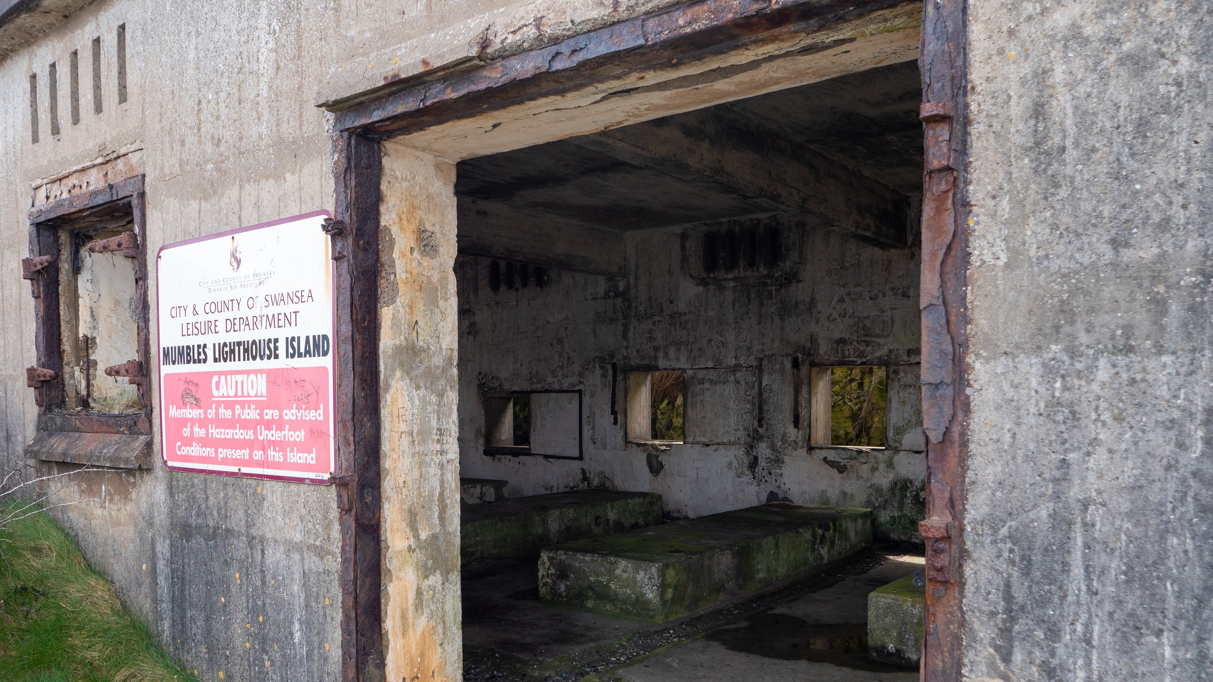
The lighthouse appears to be built on a circular stone foundation that is an old fort built to help deter a French invasion, known as a Palmerston Fort. These forts were built during the Victorian period on the recommendations of the 1860 Royal Commission on the Defence of the United Kingdom. Prompted by concerns about the strength of the French Navy, and strenuous debate in Parliament about whether the cost could be justified. The name comes from their association with Lord Palmerston, who was Prime Minister at the time and promoted the idea. This emphasises the island's strategic importance, which was reinforced a few wars later when our town was defended against the Germans.
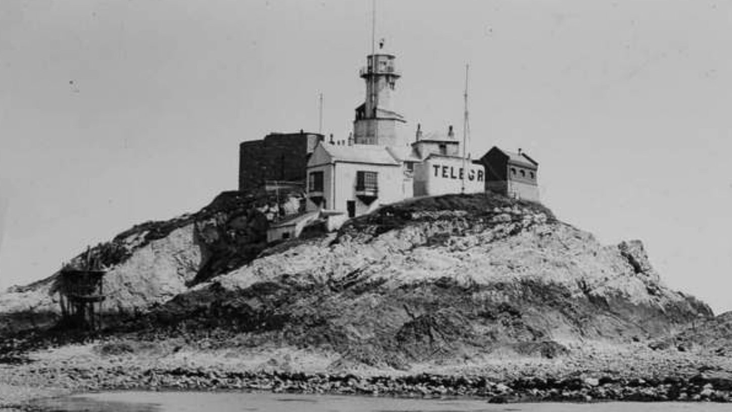
C1900 - Telegraph Station
Looking towards the mainland, you can see the fractured remains of a concrete causeway, which may be a clue to the island's later fortification.nThis was built in 1940 to transport supplies to the troops, but it was blown up in the 1970s due to its impact on Swansea Bay tides.nTwo concrete emplacements with commanding views across the bay and channel, on the island's eastern and southern sides, once housed large searchlights, have been repurposed.

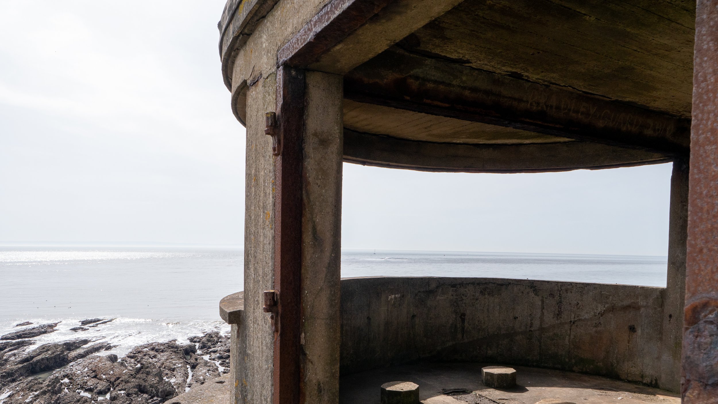
They were used to light up the sea and illuminate any enemy vessels for two 4.7-inch guns stationed alongside the lighthouse on top of the old fort. The guns were manned by Royal Artillery gunners in two shifts of 15 men each, as well as 28 men from the Home Guard.

Seaward view featuring Bob’s Cave. ©Enjoygower
Credits and References
A History of Mumbles